Must-see imagery of the Great Lakes on very rare clear December day
But this kind of satellite imagery can only show so much.
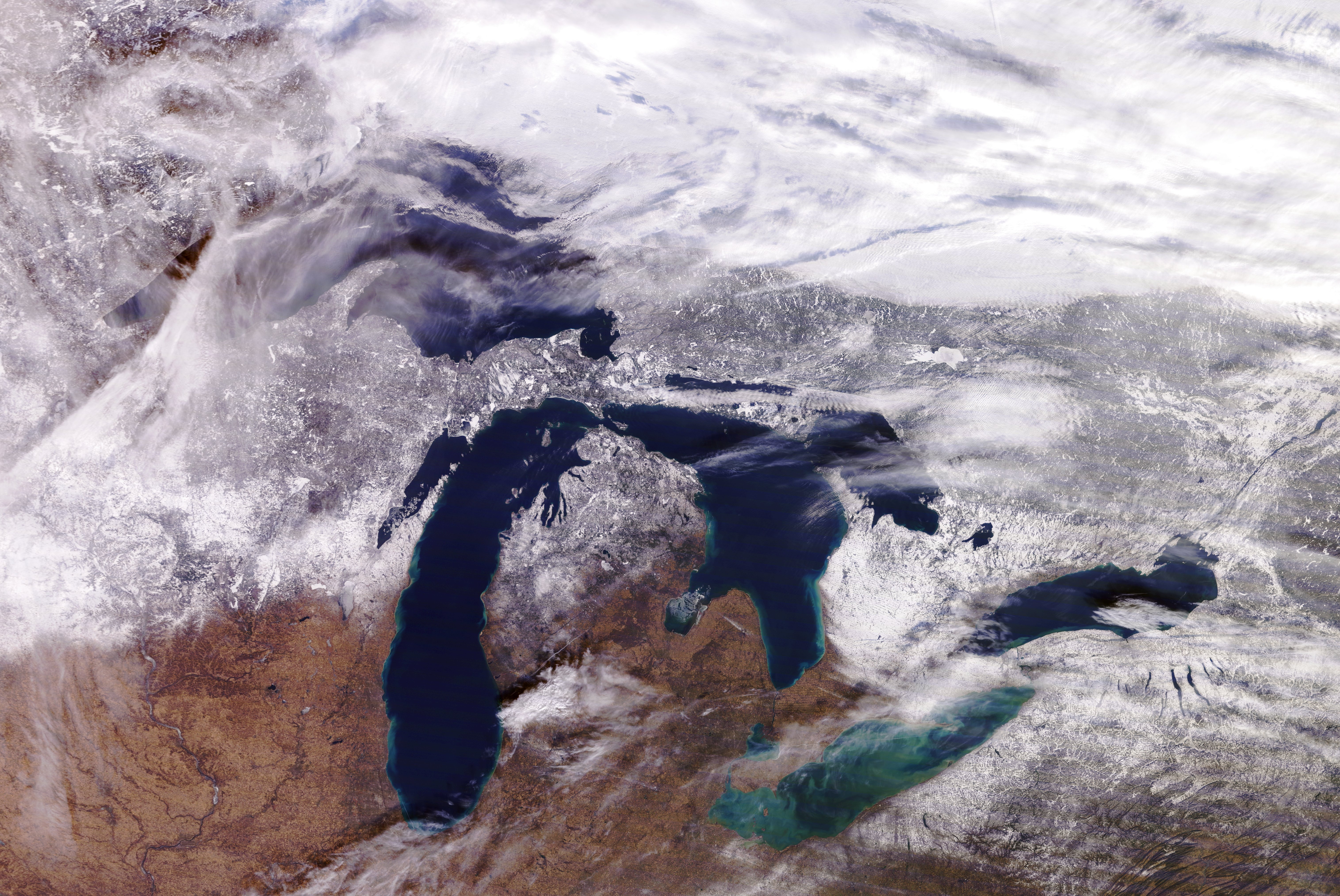
Take another glance at the image above of the Great Lakes from December 22nd. Talk about incredible detail and quality, right?
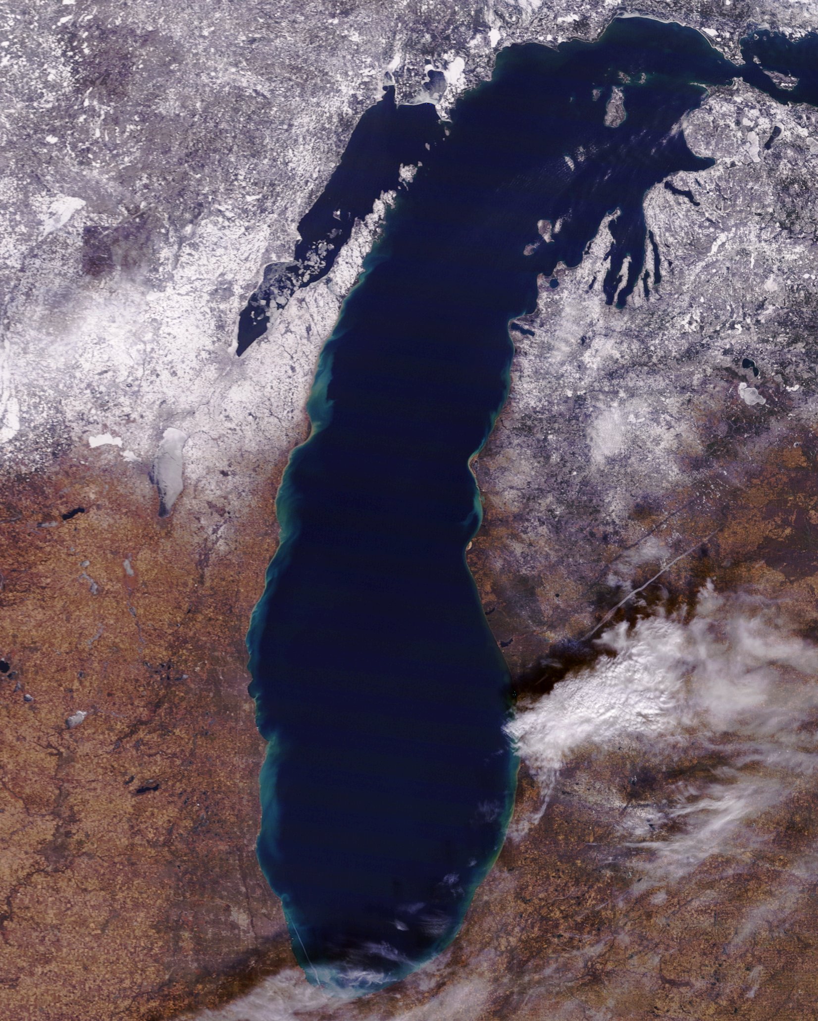
That image is courtesy of MODIS, or Moderate Resolution Imaging Spectroradiometer. It's a key piece of instrumentation aboard NASA's Terra and Aqua satellites.
According to NASA, both Terra MODIS and Aqua MODIS view the Earth's surface in its entirety every 1-2 days, meaning these incredible images of the Great Lakes may not be available for viewing every day.What makes these two MODIS images so amazing is the fact that there are almost no clouds to be found throughout the Great Lakes despite it being late December!
That is extremely rare, and it allows us to see many things that clouds would typically block. They include:
•Deep blue color of the deeper parts of the lakes
•Greenish color of Lake Erie courtesy of algae blooms
•The snow blanketing northern Wisconsin and Michigan
•The inland lakes and rivers
•The lighter colors along the immediate lakeshore showing the shallower waters
Enjoy the pure beauty of the Great Lakes courtesy of these high-tech satellites.


