
-
1:47

Freezing rain moves in tonight, expecting slick roads tomorrow...
-
1:24

Happy feet hit the floor at 24th Annual Daddy Daughter Dance
-
3:35

New house bills could reorganize local school corporations
-
1:58

New era underway at Knollwood Country Club
-
3:51

Local Police Departments concerned over House Bill 1186
-
2:55

’Save Lakeside Woods’ successfully buys land back from developer,...
-
3:26

SBCSC announces community partnership to improve school literacy
-
2:21

Freezing rain reaches Michiana Wednesday night
-
2:25

Potential ice jamming in New Buffalo
-
2:31

The History Museum’s ’Worker’s Home’ brings 1950s African...
-
1:39

Cloudy and cooling down today with a wintry mix tomorrow
-
0:52

Mishawaka High School holds signing day for student athletes

A midweek melt is in the forecast, sunshine and warming temperatures will put a dent in the heavy snow pack. Temperatures warm just above freezing Tuesday, warming continues through Thursday. Rain will also add to the snow melt Wednesday night and Thursday and could lead to minor flooding. Colder weather returns for the weekend.
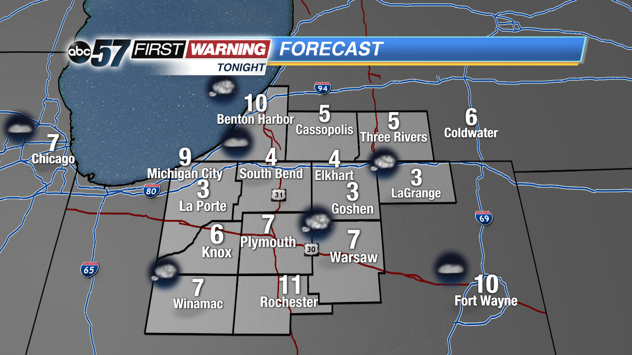
Tonight: Partly cloudy, low of 4.
Tuesday: Partly cloudy, high of 32.
Wednesday: Mostly sunny, rain late, high of 42.
Thursday: Rain showers, high of 45.
Sign up for the ABC 57Newsletter