Winter weather returns, starting as rain Thursday afternoon
By:
Tom Coomes
Posted: Jan 13, 2021 5:10 PM EDT

-
1:17

Cold and soaking rain today, another severe risk tomorrow
-
0:44

South Bend High School Music Festival highlights student talent
-
1:55

South Bend house fire possibly caused by lightning
-
2:26

Flooding remains a threat into Wednesday
-
0:40

Baxmeyer defends actions amid solar farm bond debate
-
2:11

Southwest Michigan Cares Fund reaches over $70k as families still...
-
1:35

Severe weather threat ending across Michiana
-
0:51

SJCPD responds to AG’s appeal of lawsuit dismissal
-
2:13

More strong storms likely this evening
-
2:15

The ingredients for severe weather
-
2:14

Why summer travel prices may spike due to the ongoing war in...
-
1:49

Heavy rain, high winds, and hail are main severe concerns today

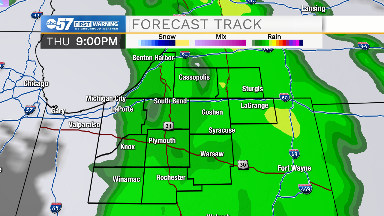
Patchy fog this morning then mostly cloudy skies. More mild air moves in today, pushing our daytime high into the low 40s. Tomorrow morning is quiet but a wintry system moves in after midday Thursday. It brings both rain and snow in the evening turning to all snow overnight. Light scattered snow showers continue Friday into Saturday morning. Lake effect snow is possible Saturday evening into the overnight hours. There is a chance of light snow on Sunday but it quiets down again on Monday.
Today: Mostly cloudy. High 42.
Tonight: Mostly cloudy. Low 31.
Thursday: Mostly cloudy. PM rain / snow. High 40.
Friday: Scattered snow showers. High 35.
Sign up for the ABC 57 Newsletter