


A few isolated snow showers will impact portions of northern Michiana through the morning and into the afternoon. There is a winter weather advisory still in effect for Berrien County until 7pm. Overall impacts will remain very low. Temperatures this afternoon will stay in the lower 20s. A quick round of flurries will be possible during mid-morning tomorrow. Along with the flurries, temperatures will again drop near the single digits with feel like temperatures closer to 0. We will work a little sunshine into the mix Monday and Tuesday as highs slowly rebound into the mid 30s. Wednesday will be a very mild day with highs pushing into the lower 50s. Rain will move in with our next system by Wednesday evening. As the cold front swings through the area Thursday morning, temperatures will take a nose dive, and rain will turn to wintry mix and snow. We could see a few more inches of snow accumulation by Friday morning.
Today: Isolated snow showers. High 22.
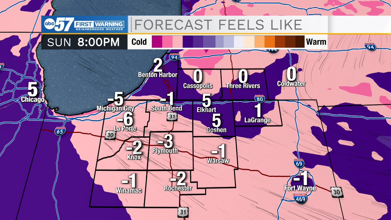
Tonight: Partly cloudy. Low 8.
Tomorrow: Partly cloudy. High 26.
Tuesday: Partly cloudy. High 36.