
-
0:44

South Bend High School Music Festival highlights student talent
-
1:55

South Bend house fire possibly caused by lightning
-
2:26

Flooding remains a threat into Wednesday
-
0:40

Baxmeyer defends actions amid solar farm bond debate
-
2:11

Southwest Michigan Cares Fund reaches over $70k as families still...
-
1:35

Severe weather threat ending across Michiana
-
0:51

SJCPD responds to AG’s appeal of lawsuit dismissal
-
2:13

More strong storms likely this evening
-
2:15

The ingredients for severe weather
-
2:14

Why summer travel prices may spike due to the ongoing war in...
-
1:49

Heavy rain, high winds, and hail are main severe concerns today
-
1:26

Amidst several rounds of storms, some could be severe today

The end of 2020 is cold and quiet, the forecast is fair Thursday afternoon through midnight. The start of 2021 could be icy. All focus is on the freezing rain threat Friday. There's been a significant slowdown in the arrival of rain and temperatures look to stay colder, longer. In summary the ice threat is more significant for travel Friday because freezing rain fall during the daylight hours. The greatest travel risk is from 8:00 a.m. to 2:00 p.m. A wintry mix of sleet and rain is also possible. The afternoon isn't much better, it's just not as icy with a cold (wet) rain. The weekend and early next week are uneventful.
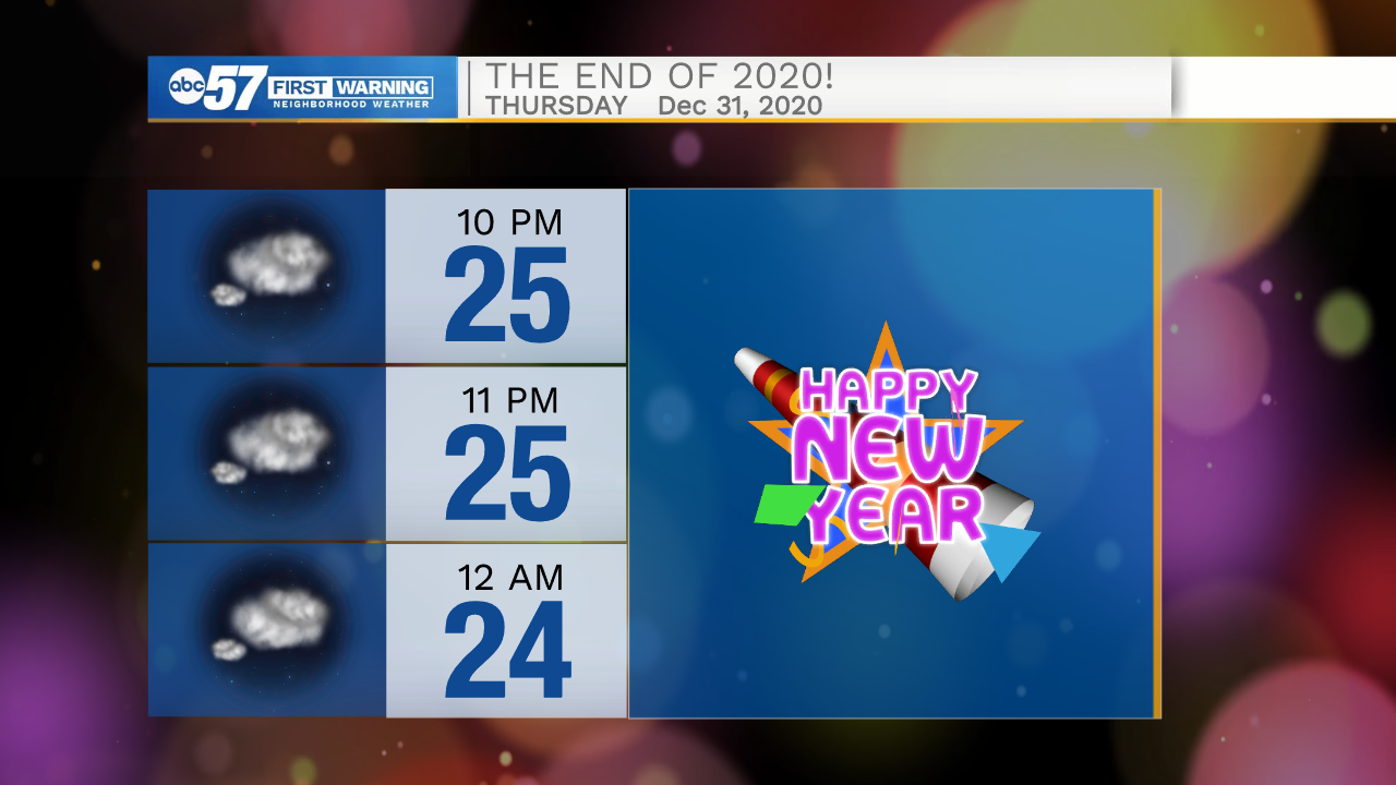
Tonight: Mostly cloudy Low 25.
Thursday: Mostly cloudy. High 34.
New Year's Day: Freezing rain, then rain. High 36.
Saturday: Cloudy. High 38.