
-
1:17

Cold and soaking rain today, another severe risk tomorrow
-
0:44

South Bend High School Music Festival highlights student talent
-
1:55

South Bend house fire possibly caused by lightning
-
2:26

Flooding remains a threat into Wednesday
-
0:40

Baxmeyer defends actions amid solar farm bond debate
-
2:11

Southwest Michigan Cares Fund reaches over $70k as families still...
-
1:35

Severe weather threat ending across Michiana
-
0:51

SJCPD responds to AG’s appeal of lawsuit dismissal
-
2:13

More strong storms likely this evening
-
2:15

The ingredients for severe weather
-
2:14

Why summer travel prices may spike due to the ongoing war in...
-
1:49

Heavy rain, high winds, and hail are main severe concerns today

Tonight: Evening rain, temperatures spike next 60 and thunderstorms. The storm threat is from 11:00 PM - 2:00 AM for Michiana, threats include the possibility of a tornado and damaging wind.

Secure Santa Claus and any other outdoor decorations, Saturday will be windy, as gusts likely top 40 mph. The wind will howl and temperatures drop after the cold front passes Saturday morning. The wind is strongest in the morning, but will be gusty all day. Rain could mix with a few snow showers, but Saturday's biggest impact is wind. The end of the weekend, couldn't be much nicer for December. Fair, with highs in the mid-40s.
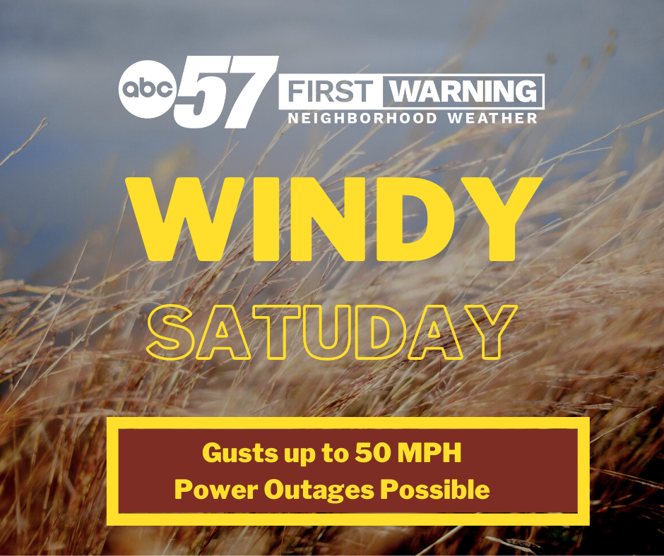
Saturday: Windy, falling temperatures 50s to 30s.
Sunday: Mostly sunny. High 46.
Monday: Sunny. High 48.
Sign up for the ABC 57 Newsletter