
-
2:15

Severe weather likely for portions of Michiana later today
-
2:34

Open House for a new pedestrian bridge leaves Riverside Residents...
-
2:16

Notre Dame’s CJ Carr embraces growing expectations while leading...
-
2:34

Injuries sideline key linebackers as Notre Dame leans on depth...
-
0:58

U.S. Army increases maximum enlistment age from 35 to 42
-
2:08

Large hail, damaging winds and tornadoes possible Thursday
-
1:40

Nicholas Stanley appears in court, prosecutors push to prevent...
-
3:18

Expert breaks down high gas prices and factors impacting price...
-
2:08

Westview community rallies around boys’ basketball team headed...
-
2:06

The threat for severe weather has increased
-
2:16

More sunshine today with a severe risk tomorrow
-
0:32

Granger residents share input on proposed S.R. 23 roundabout

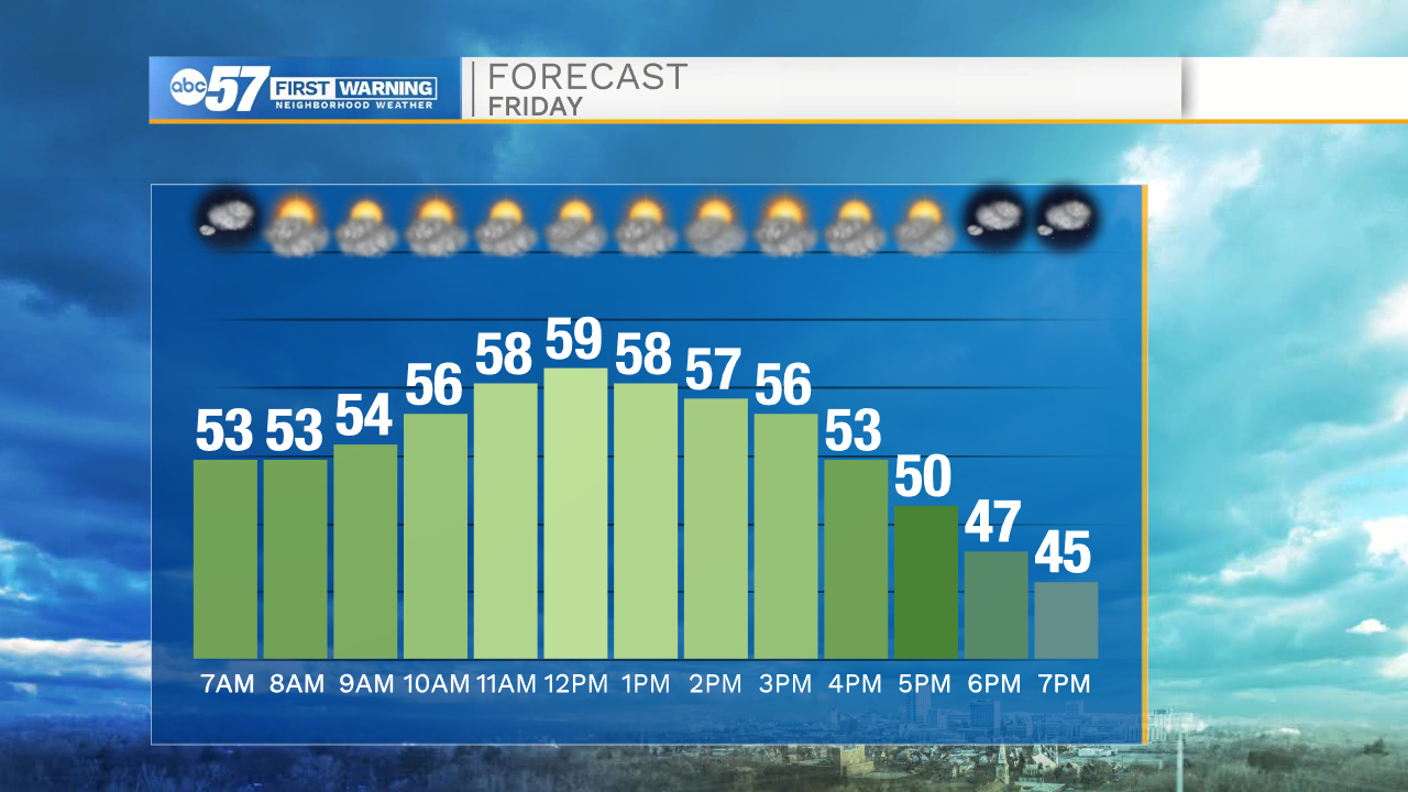
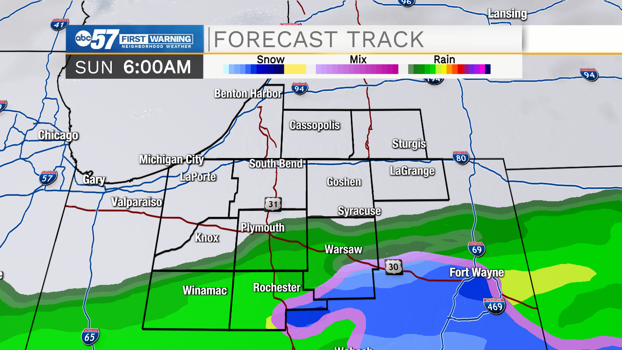
Friday is still mild but not as windy. There will be a change Friday, as a dry front moves through early afternoon. Temperature peak close to 60 around noon then fall to the 40s by early evening. The weekend forecast has improved, slightly. Saturday looks mostly dry but still cool and cloudy. Saturday night into Sunday a rain/snow mix is likely, resulting in chilly, damp conditions. Next week, highs in the 40s with another round of rain Tuesday-Wednesday before clearing for Thanksgiving Day, with highs near 50.
Tonight: Mostly clear, breezy. Low 52.
Friday: Partly cloudy. High near 60 at noon.
Saturday: Cloudy. High 44.
Sunday: Rain/snow showers. High 42.
Sign up for the ABC 57 Newsletter