
-
3:41

Present Pillars to host “Dad Strong 5K“ to support fathers...
-
1:44

Warming up through Wednesday
-
2:34

From Niles to South Bend: Jays 2 Keeps the Spirit Alive for basketball...
-
0:46

44th annual Tri Kappa Antique Show boosts charities and scholarships
-
1:48

Scattered showers this evening, Much cooler overnight
-
1:50

Showers and storms this afternoon
-
0:20

One person injured in shooting
-
0:36

Eddies Circuit Robotics holds competition Saturday
-
0:32

21st annual Nappanee Model Train Show
-
0:38

Local boys basketball team headed to IHSAA state finals
-
3:49

Midwest Meowfest brings kitten advocacy to attendees, new homes...
-
1:52

Mild tonight, showers tomorrow

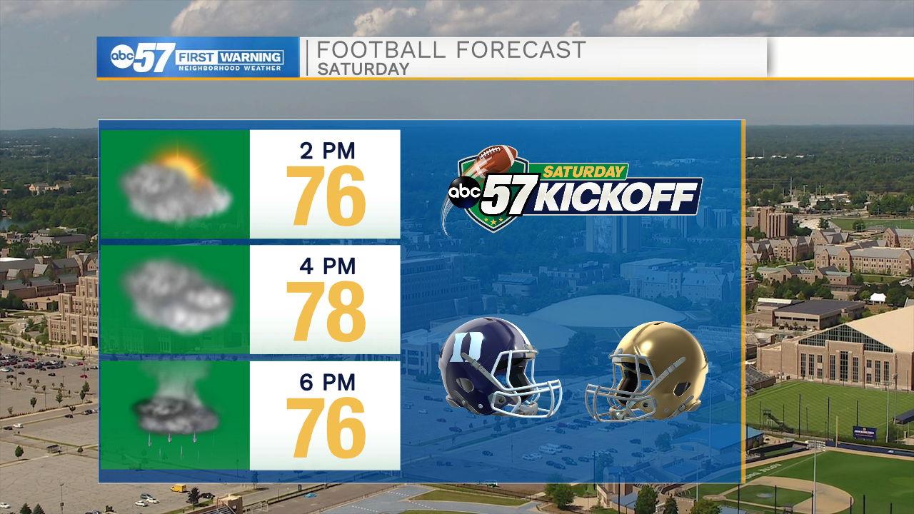
Clouds break Friday as the wind turns out of the south and temperatures begin to warm ahead of the next storm system. Saturday clouds and temperatures increase, high near 80 before showers and storms in the late afternoon and evening. Impact on the Notre Dame home opener are likely minimal at this time, shower may not start until after the game. The wind turns northwest Sunday, skies clear and high temperatures fall back into the mid-70s. The forecast is fair through early next week.
Tonight: Mostly cloudy. Low 58.
Friday: Partly cloudy. High 72.
Saturday: Increasing clouds, PM t-showers. High 80.
Sunday: Mostly sunny, breezy. High 75.
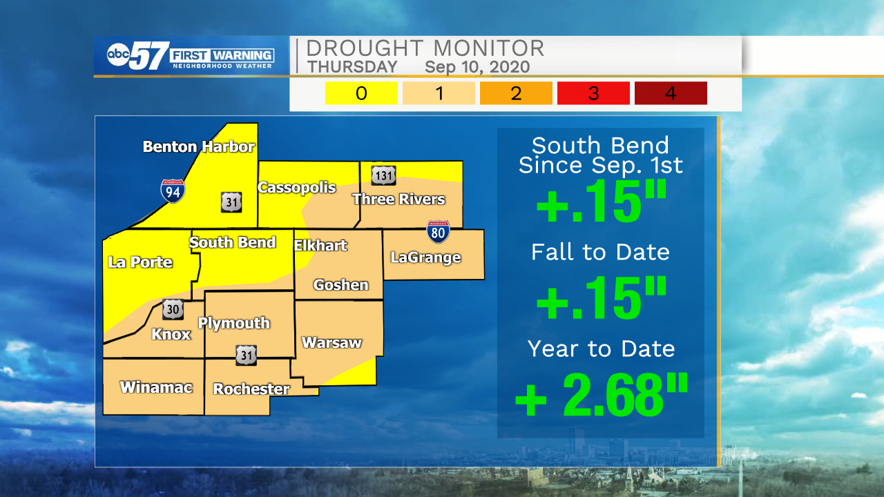
More rain is needed to recover from the summer drought.
Sign up for the ABC 57 Newsletter