


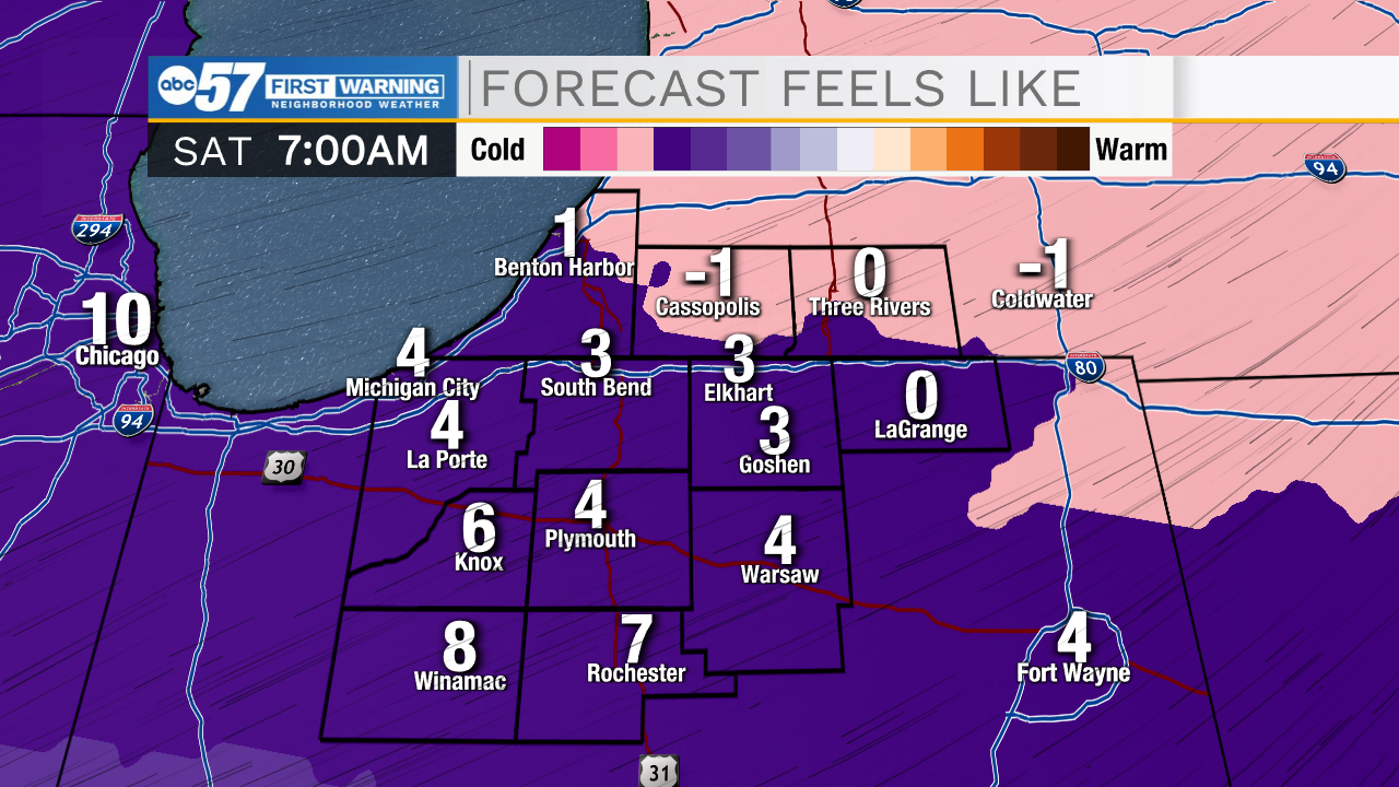
This morning temperatures will fall into the 20s, this mixed with some misty/foggy conditions could lead to a few isolated slick spots on the roadways. A snow storm will impact portions of Iowa, Illinois, and Missouri today, this will bring northerly winds into our area, which will help to develop a few isolated lake effect snow showers throughout the day. Accumulations look slim to none, but a dusting is possible in a few areas. Snow chances will move out by tomorrow morning. Temperatures will drop into the mid-teens to start your Saturday, and then only warm into the upper 20s by the afternoon. Sunday morning, single digit temperatures return with feel like temperatures near 0. After this weekend temperatures will rebound back into the 30s. Monday looks like our next best chance for some lake effect snow, right now things look low impact. We will see another drop in temperatures late next week into next weekend.
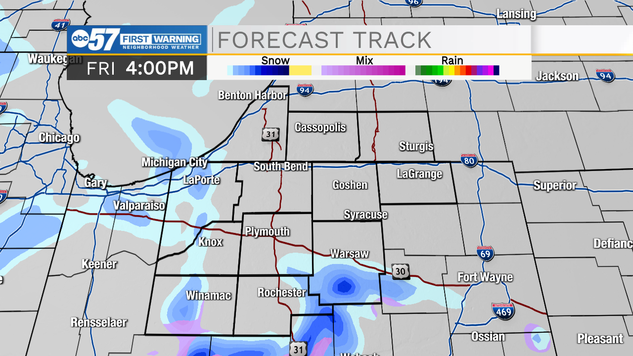
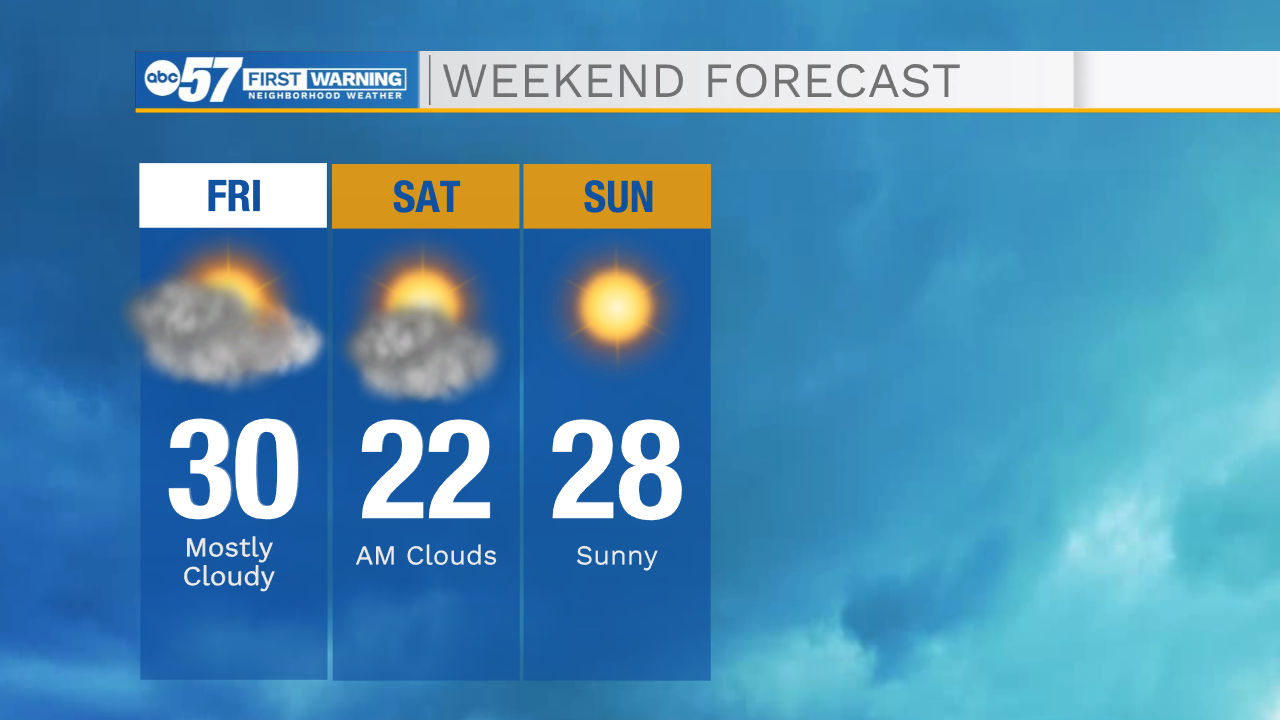
Today: Isolated light snow. High 30.
Tonight: Isolated light snow. Low 14.
Tomorrow: AM clouds/PM sun. High 22.
Sunday: Sunny. High 28.