Hot and steamy week with thunderstorm chances
By: Emily Kennedy
Posted: Aug 24, 2021 3:09 AM EDT

-
1:17

Cold and soaking rain today, another severe risk tomorrow
-
0:44

South Bend High School Music Festival highlights student talent
-
1:55

South Bend house fire possibly caused by lightning
-
2:26

Flooding remains a threat into Wednesday
-
0:40

Baxmeyer defends actions amid solar farm bond debate
-
2:11

Southwest Michigan Cares Fund reaches over $70k as families still...
-
1:35

Severe weather threat ending across Michiana
-
0:51

SJCPD responds to AG’s appeal of lawsuit dismissal
-
2:13

More strong storms likely this evening
-
2:15

The ingredients for severe weather
-
2:14

Why summer travel prices may spike due to the ongoing war in...
-
1:49

Heavy rain, high winds, and hail are main severe concerns today

ABC57 First Warning Neighborhood Weather Forecast
Tuesday, August 24th, 2021
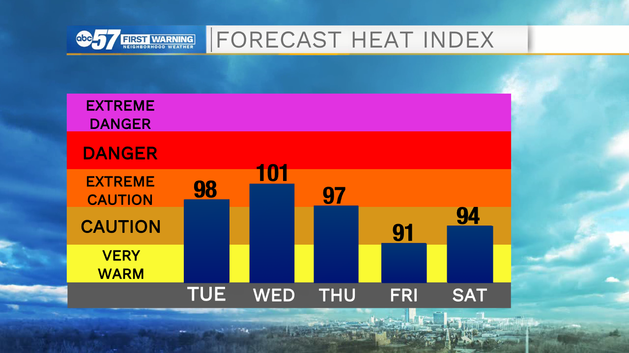
We have a hot and humid week ahead of us. We top out in the low 90s today through Thursday with heat index value near 100F. We settle into an active weather pattern as well with a chance lasting through Friday. We will still have times of sunshine each day, but you will need to stay updated on timing of storms to plan around them. The heat continues into the weekend. We finally see relief from a cold front on Monday.
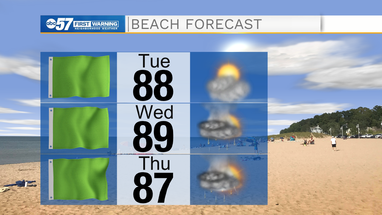
Today: Hot and humid. Isolated PM thunderstorms. High 90.
Tonight: Isolated thunderstorms. Low 74.
Wednesday: Hot and humid. Scattered thunderstorms. High 92.
Thursday: Hot and humid. Isolated PM thunderstorms. High 90.
Sign up for the ABC 57 Newsletter