
-
2:18

Winter weather causing treacherous travel conditions today
-
1:56

Wellfield Botanic Gardens’ Winter Wonderland enters final days...
-
2:02

More storms this evening, Wintry tomorrow
-
3:01

Severe storm potential this afternoon
-
1:55

Dash Away 5K lets families run through holiday lights at Elkhart...
-
2:19

Showers arrive overnight, Soggy Sunday
-
0:25

SBFD responds to carbon monoxide call Friday
-
0:45

Settlement reached in data privacy lawsuit against Goshen Health
-
2:20

Mild and cloudy start to weekend
-
3:14

New South Bend social house adds to downtown entertainment hub
-
1:23

Winter returns Monday
-
2:22

University Park Mall packed with shoppers after Christmas

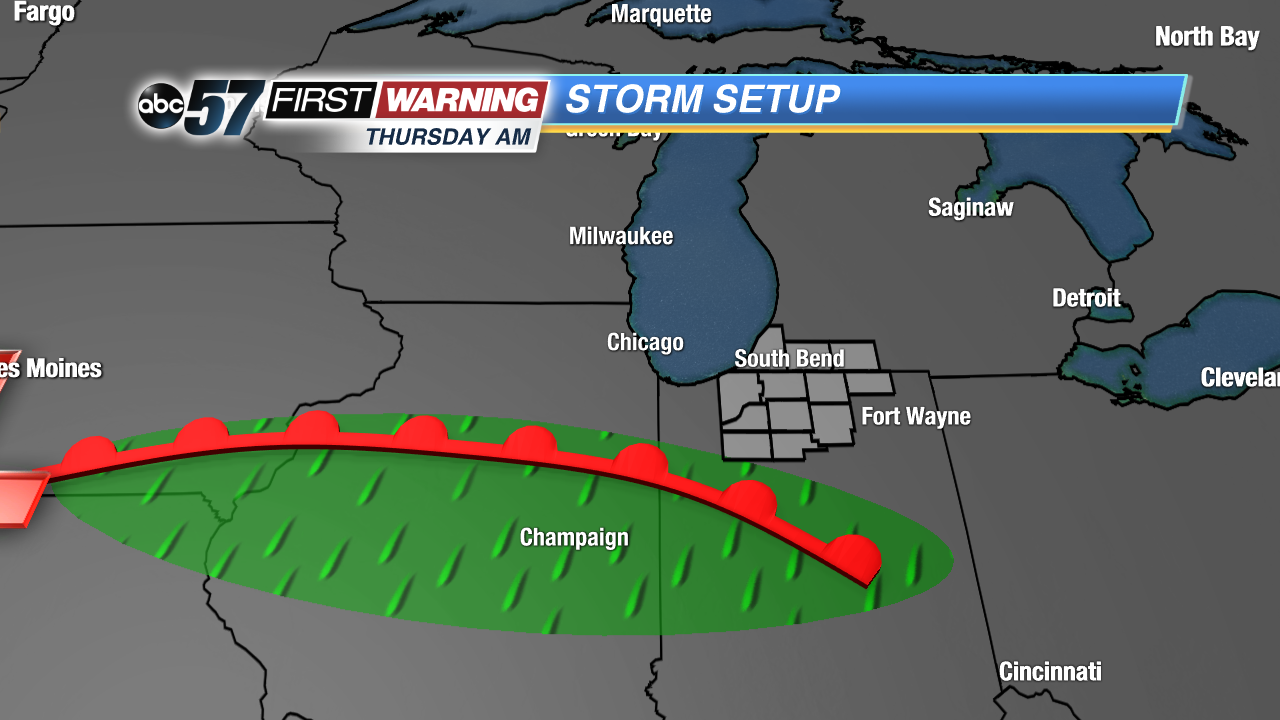
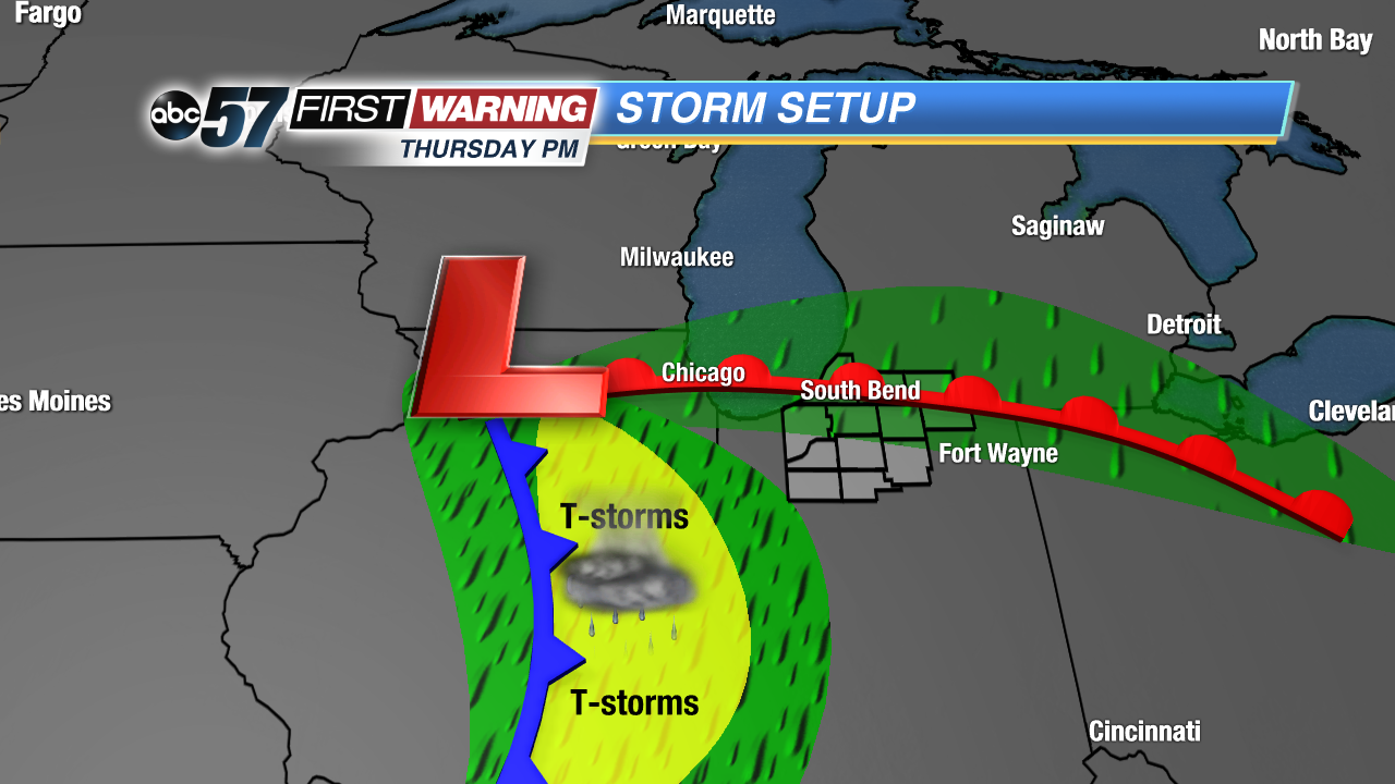
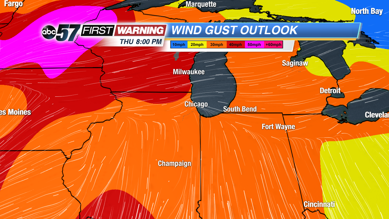
The forecast trends cooler, grayer and wetter through the end of the week. Tuesday is still fair with highs near 60, the northwest breeze keeping temperatures cooler. The wind turns northeast Wednesday with clouds, a chance of rain and temps struggle to reach 50. Thursday the wind gusts out of the southwest as highs spike into the 60s again ahead of a rain and possible storms Thursday night. Temperatures fall again into the weekend.
Tonight: Clear skies, low of 45.
Tuesday: Sunny high of 60.
Wednesday: Mostly cloudy, chance of rain, high of 50.
Thursday: Breezy, increasing clouds, chance of rain/storms late, high of 64.
Sign up for the ABC 57 Newsletter