Sunshine sticks around today, Increasing cloud cover tomorrow


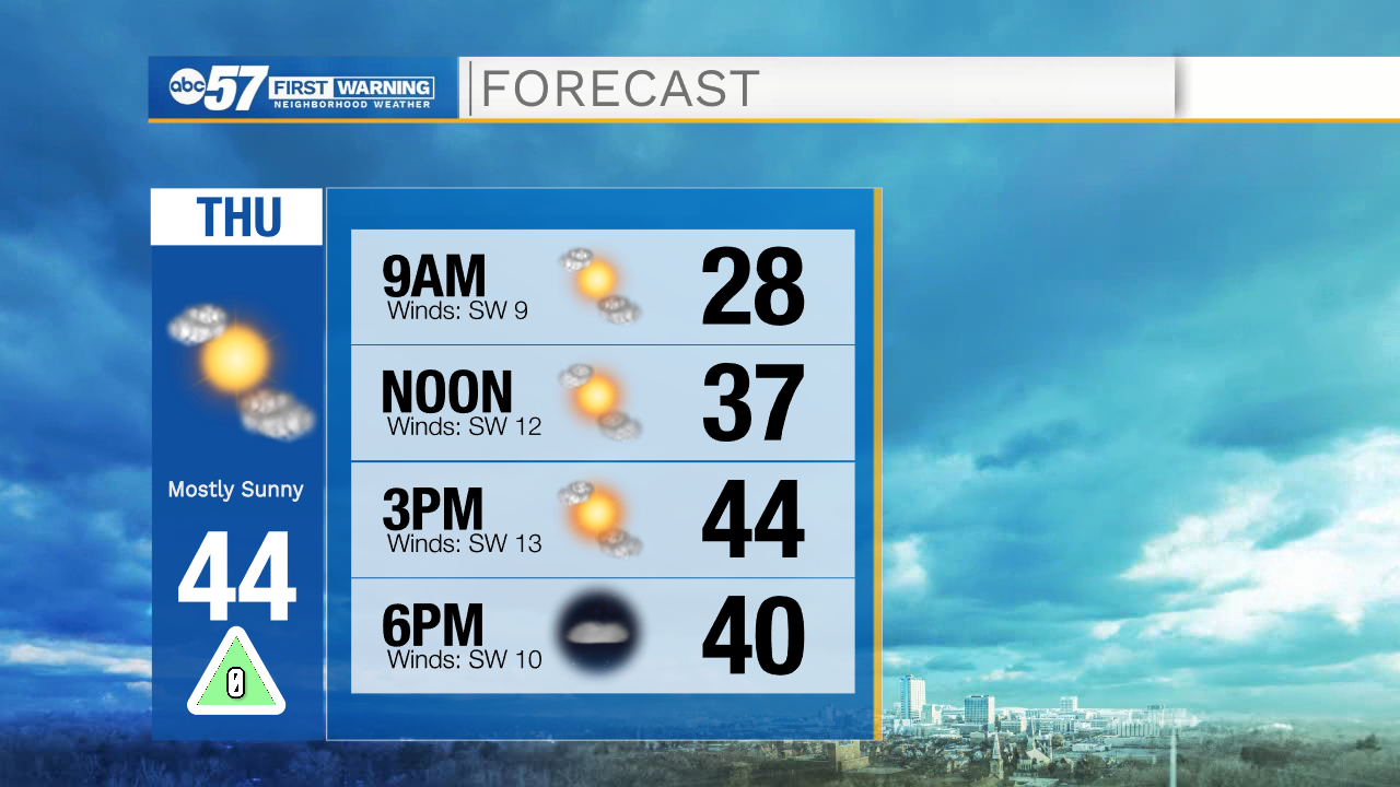
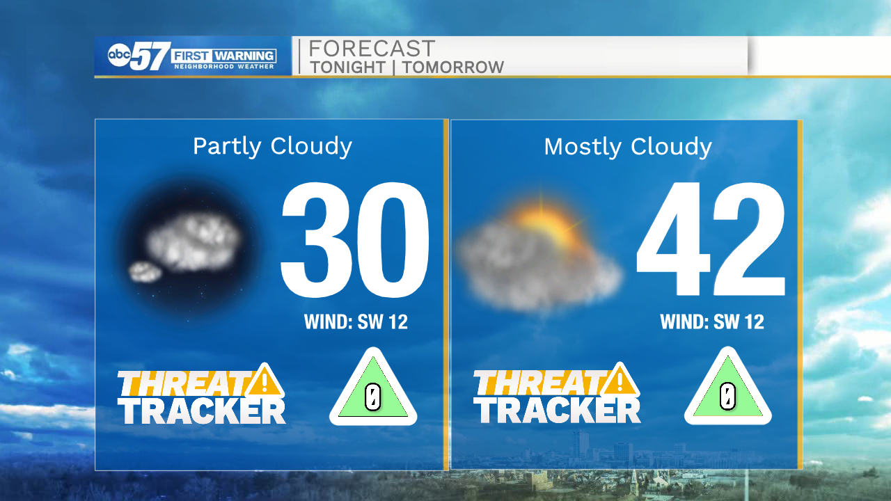
Mostly sunny skies will stick around throughout your Thursday with high temperatures this afternoon topping out in the mid 40s. Tonight cloud cover will increase and temperatures will drop into the lower 30s. Partly to mostly cloudy skies are in the forecast for Friday. High temperatures tomorrow will be in the lower 40s. Saturday afternoon will stay dry with lingering cloud cover. High temperatures Saturday will be in the lower 40s. A few light rain showers and snow flurries are possible Sunday evening and Monday morning.
Next week the cold temperatures will stick around with highs only warming into the low to mid 40s by next Wednesday and Thursday. Another system looks to move in late next week into next weekend, bringing more rain and snow chances.
Today: Mostly sunny. High 44.
Tonight: Partly cloudy. Low 30.
Tomorrow: Partly/Mostly cloudy. High 42.
Saturday: Mostly cloudy. High 40.