Storms this evening bring some relief from the heat

-
2:42

Active weather arrives Sunday
-
3:22

Calm today, storms return Sunday
-
2:58

Thousands of people across Michiana experienced power outages...
-
1:13

Earl Wigfall holds Detective Trivia Night for Sheriff campaign
-
1:50

Preparations underway for South Bend’s annual St. Patrick’s...
-
0:24

CAVA set to open in Mishawaka
-
1:16

Groundbreaking project underway for housing development
-
0:52

Jefferson Boulevard renamed to kickoff St. Patrick’s Day festivities
-
0:35

Congressman Rudy Yakym on Iran conflict
-
3:22

A look at some of the big concerts coming to St. Joseph County...
-
1:50

Mild Sunday, snow Monday
-
4:37

Morris Performing Arts Center show season starts tonight

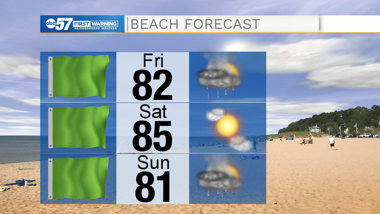
ABC57 First Warning Neighborhood Weather
Thursday, July 9th, 2020
One last hot and humid day. Heat indices could reach the upper 90s! Isolated showers and storms are possible again after midday but the main line of storms arrives late this evening. These storms could be strong with gusty wind and heavy rain. Scattered showers and storms continue into Friday, finally knocking down the heat and humidity some. Saturday is nice and bright but another round of rain is expected Sunday. Next week starts to warm right back up with 90s possible by next Wednesday.
Today: Partly sunny, hot and humid. PM isolated showers/storms. High 94.
Tonight: Scattered thunderstorms. Low 73.
Friday: Scattered thunderstorms likely. High 85.
Saturday: Mostly sunny. High 85.