
-
2:19

Dry and mild start to Thursday, but rain arrives this evening
-
2:56

Pro-Palestinian protesters fill intersection of Walnut and Western...
-
1:55

’Water shut off notices’ return in Benton Harbor
-
0:57

Indiana Lt. Gov. Suzanne Crouch makes local campaign stop
-
3:55

Deliberation about changes to Indiana’s high school graduation...
-
1:44

Temperatures rise and fall to end the week, rain Friday
-
3:19

National College Decision Day is pushed back this year
-
5:25

Michigan State Representative Joey Andrews joins ABC57
-
1:29

A new chapter for the Cass District Library Edwardsburg Branch
-
1:59

Few showers this morning, then quiet again today
-
2:23

PGA and Whirlpool prepare for one last KitchenAid Senior Championship...
-
1:49

Occupants identified in deadly plane crash near Bristol

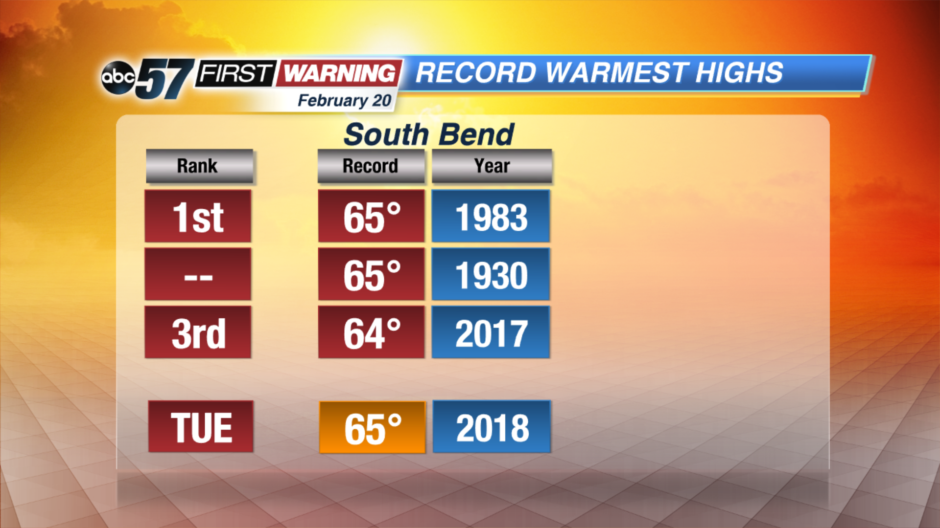
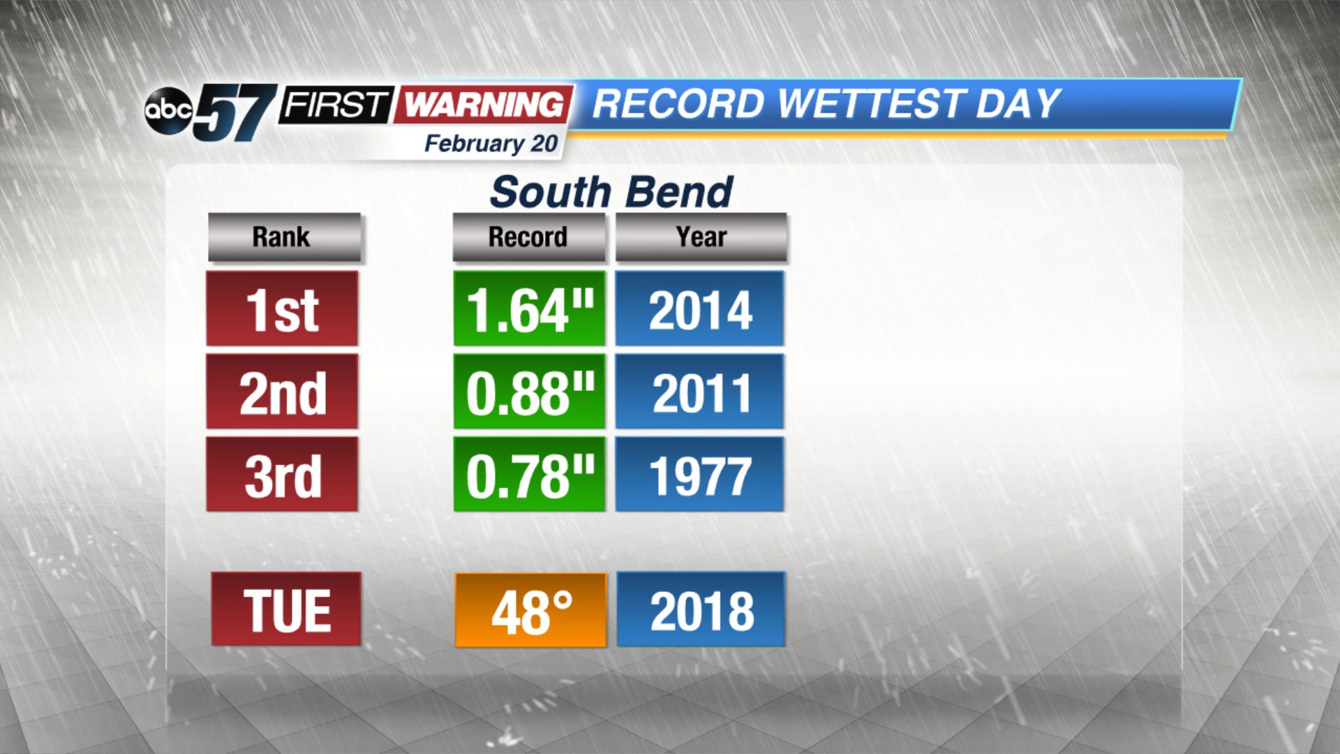
Soggy weather stays in the forecast through Wednesday, steady and sometimes heavy rain through Tuesday night. Minor flooding and standing water is the greatest concern through midweek but rising rivers may lead to additional flooding by the end of the week. High temperatures spike near record highs Tuesday in the mid-60s, before dropping again Wednesday and settle into 40s for the foreseeable future.
Tonight: Rainy and breezy, temperatures climb from the mid-50s overnight.
Tuesday: Rainy, heavy at times, rumbles of thunder possible, high of 65.
Wednesday: AM wintry mix, temperatures fall from the mid-30s.
Thursday: Partly cloudy, highs in the low 40s.
Sign up for the ABC 57Newsletter