

-
2:23

Mark Quatrani’s standout season at Notre Dame ends with selection...
-
2:50

Jack Radel becomes Notre Dame’s highest MLB draft pick in more...
-
2:38

Explosive diarrhea cases on the rise in Michigan
-
3:44

Investigation into Friday’s State Trooper shooting under investigation,...
-
3:30

Law enforcement officers react to rash of NW Indiana officers...
-
2:51

South Bend neighbors react to talks of regulations on short-term...
-
7:52

Nappanee police K9 assists in arrest of attempted murder suspect
-
0:56

Heat wave starts today
-
1:59

Kosciusko County Fair opens 109th year with parade, new alcohol...
-
2:00

Music enthusiasts gathered for the inaugural South Bend Record...
-
5:22

Coaches vs. Cancer raises money for American Cancer Society
-
0:57

Heat knocking on our door

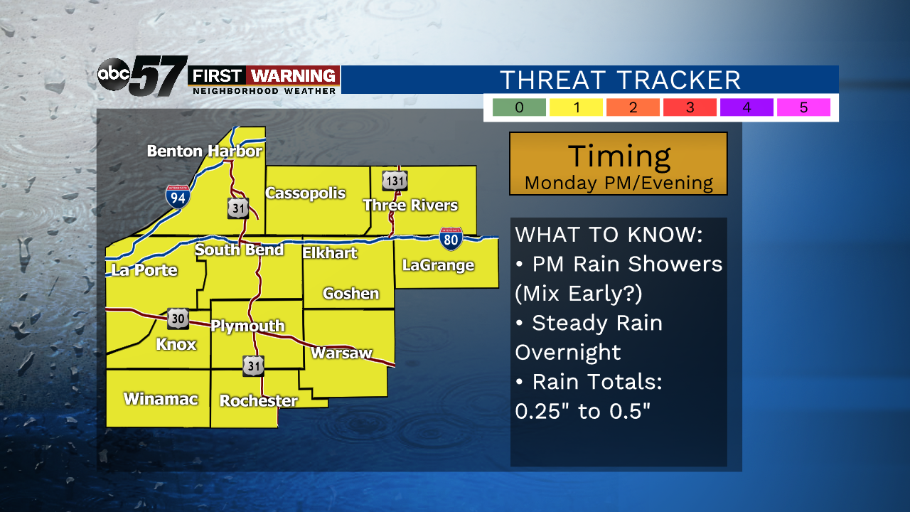
Monday will be cloudy with rain developing just in time for the commute home. There is a slight chance of a few snowflakes mixing in with showers early in the afternoon. Most, if not all, of the precipitation that falls will be in the form of rain. Some spots could pick up half of an inch of rain or more before precipitation ends very early Tuesday morning. Tuesday will be cloudy, gloomy and chilly with highs in the middle 30s. As high pressure moves in Wednesday and Thursday, we’ll see at least some sunshine for the middle of the week. Temperatures will be a little colder, however. Dry weather looks to last into the weekend, with a warm up expected as well.
Tonight: Partly to mostly cloudy. Low 22.
Monday: Mostly cloudy. Rain develops late. High 40.
Tuesday: Cloudy. High 36.
Wednesday: Partly sunny and a little colder. High 28.