Quiet weekend before blast of cold air and snow
By: Emily Kennedy
Posted: Nov 8, 2019 3:09 AM EDT

-
0:34

South Bend Community Review Board hosts open discussion on youth...
-
2:19

INDOT walks through a proposed diverging diamond intersection...
-
1:08

Notre Dame’s Leonard Moore highlights student success and raises...
-
1:05

Mayflower Bridge set to close beginning April 6
-
0:21

Colfax Avenue eastbound lane closed for water and sewer work
-
0:46

Madison Street closed for lifestyle district project
-
4:11

Non-profit organization provides deep dive into Blackstone, a...
-
1:52

Storms possible overnight, strong storms by Tuesday evening
-
3:48

New partnership aims to help fight food insecurity across Elkhart...
-
2:00

A sunny Monday ahead, rainy almost every other day this week
-
2:59

Dusty May leads Michigan back to Final Four with dominant win...
-
0:37

Vendors and cosplayers showcase art at South Bend Anime Fest

Friday, November 8th, 2019
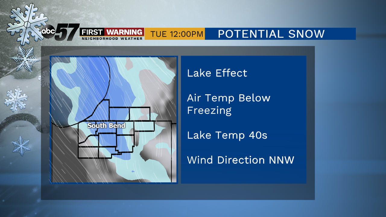
A couple of morning flurries, otherwise we’ll see a nice mix of sun and clouds. The weather remain quiet through the weekend with highs in the low to mid 40s. A few more clouds move in on Sunday with a round of snow starting as early as Sunday night heading into Monday. As the cold front brings us the snow, a bitter blast of cold air accompanies it. This drops daytime highs into the 20s heading towards midweek with lake effect snow likely. Plan on possible slowdowns for your morning commute early next week.
Today: Mostly cloudy to mostly sunny. High of 34.
Tonight: Mostly to partly clear. Low of 23.
Saturday: Partly cloudy. High of 42.
Sunday: Mostly cloudy. High of 44.
Monday: Snow showers. High of 30.
Sign up for the ABC 57 Newsletter