Quiet start to Sunday; next round of rain starts this evening
Early Sunday morning there have been a few reports of fog and freezing fog across parts of Michiana, especially those covered in snow. If you're driving early this morning, be sure to take it slow as roads could be slippery. Fog clears mostly by sunrise.
Generally Sunday stays quiet. Skies are mostly cloudy and temperatures are mild, warming to a high around 40.
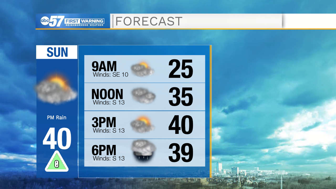
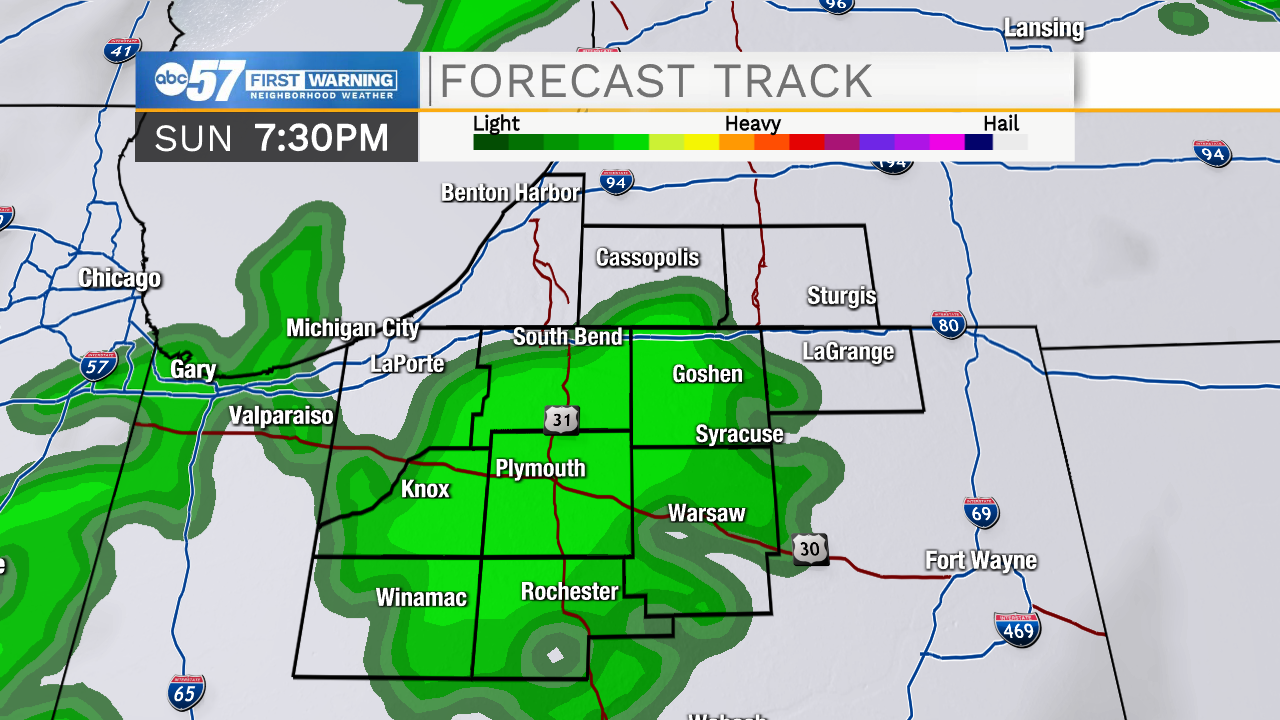
By late afternoon, there is a chance for a few rain sprinkles. Otherwise, most of the rain will hold off until this evening and overnight.
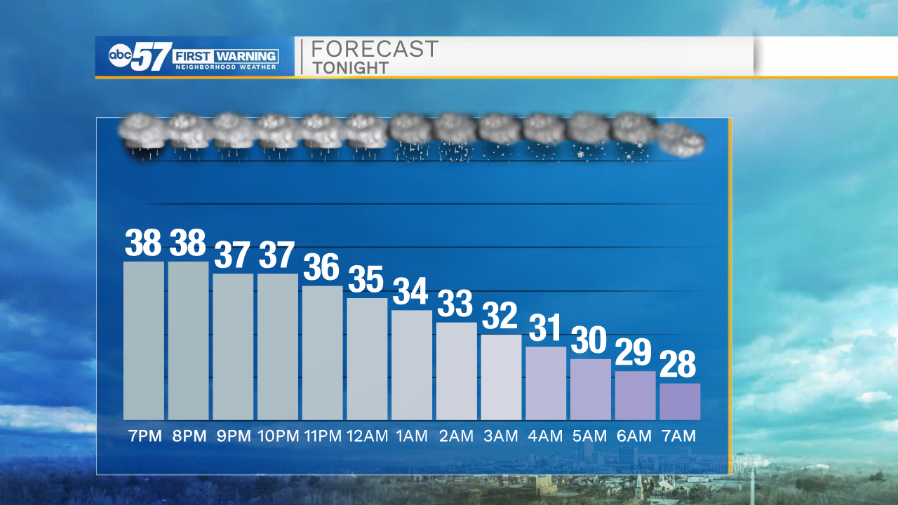
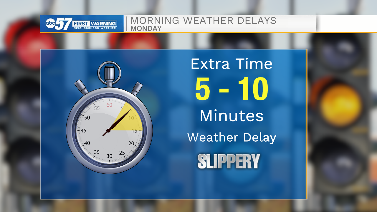
As temperatures cool overnight, precipitation turns to a wintry mix then snow showers, or possibly a freezing drizzle. This could lead to some slick spots on roads for your Monday morning commute.
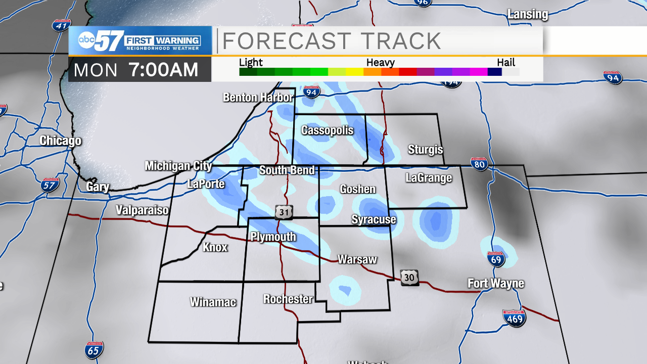
Snow showers wrap up Monday morning, then Monday and Tuesday are quiet again.
The next system arrives Tuesday night and will bring snow chances then rain throughout Wednesday. Thursday and Friday have additional precipitation chances before finally drying by next weekend.
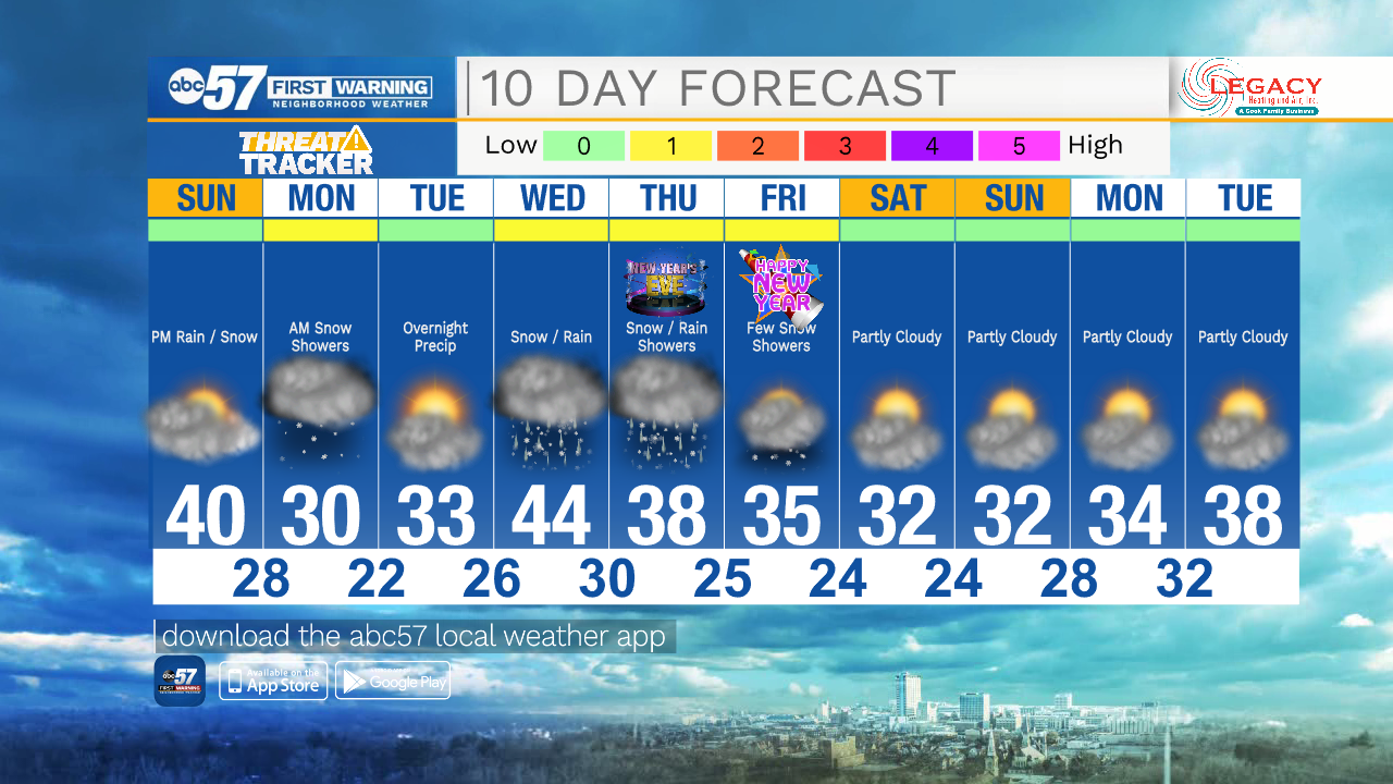
Today: Mostly cloudy. High 40.
Tonight: Light rain showers turning to snow showers or flurries overnight. Low 28.
Monday: A chance of flurries or snow showers in the morning, then cloudy. High 30.
Tuesday: Partly to mostly cloudy. Snow showers overnight. High 33.
