Mircoburst likely cause of New Prairie storm damage


LA PORTE COUNTY, Ind. --There wasn't much widespread storm damage Friday but one location saw the brunt of the damage,the southwest corner of New Prairie High School. The highly localized damage gave clues to the cause of this damage. This was a very small downburst from a passing thunderstorm, called a microburst.
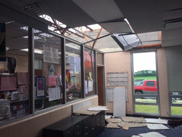 Damage inside New Prairie Highs School
A survey crew was not needed from the National Weather Service, photos of damage and radar confirmed there was no rotation, this was straight line wind. A downburst happens when (heavier) rain-cooled air rushes down from the clouds inside a thunderstorm towards the ground. A very small downburst ins called a microburst. These can sometimes produces wind gusts in excess of 100 mph. In this instance the wind speed was likely between 50 and 60 mph.
If you're wondering why a warning may not have been issued for such a storm, it's the fact this was such a small scale event, that by the time it happened it was already over. As many experienced, storms Friday morning were not very severe.
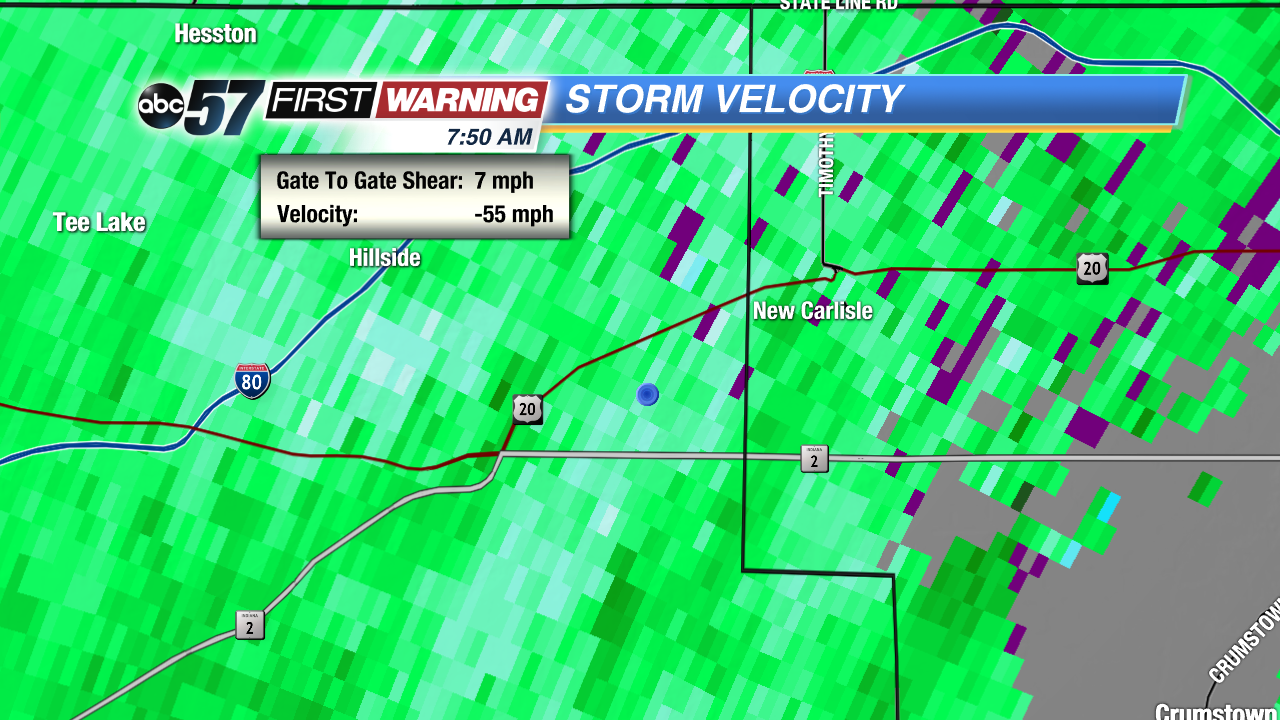 Doppler radar velocity around 7:50 am EDT Friday. Estimates storm wind around 55 mph. This was close to the reported time of the damage at 7:00 am CDT