Two years later: Michiana's worst flash flood
Posted: Aug 15, 2018 11:50 AM EDT
It's hard to believe that it has been two years since the historic, record-setting flash flooding event that slammed parts of Michiana in August of 2016. Rain began falling around noon on August 15th, only picking up in intensity during the evening and overnight hours. It ended during the afternoon hours of the 16th. Not before causing numerous problems across parts of St. Joseph, La Porte, Starke, Marshall, Elkhart, Cass and Berrien Counties.
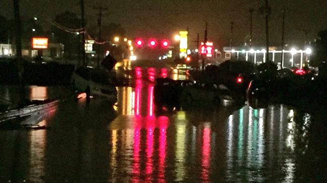
Rain fell at rates upwards of 1-2" per hour at times during the evening and nighttime hours, leading to serious flash flooding from Knox to North Judson to Walkerton to South Bend and Niles. Stranded vehicles, submerged streets, flooded homes, and water rescues were seen throughout the night. The event was a thousand-year flood, meaning flooding to that extent is only expected to happen once every 1,000 years!
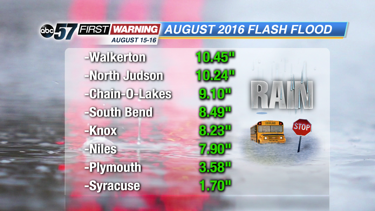
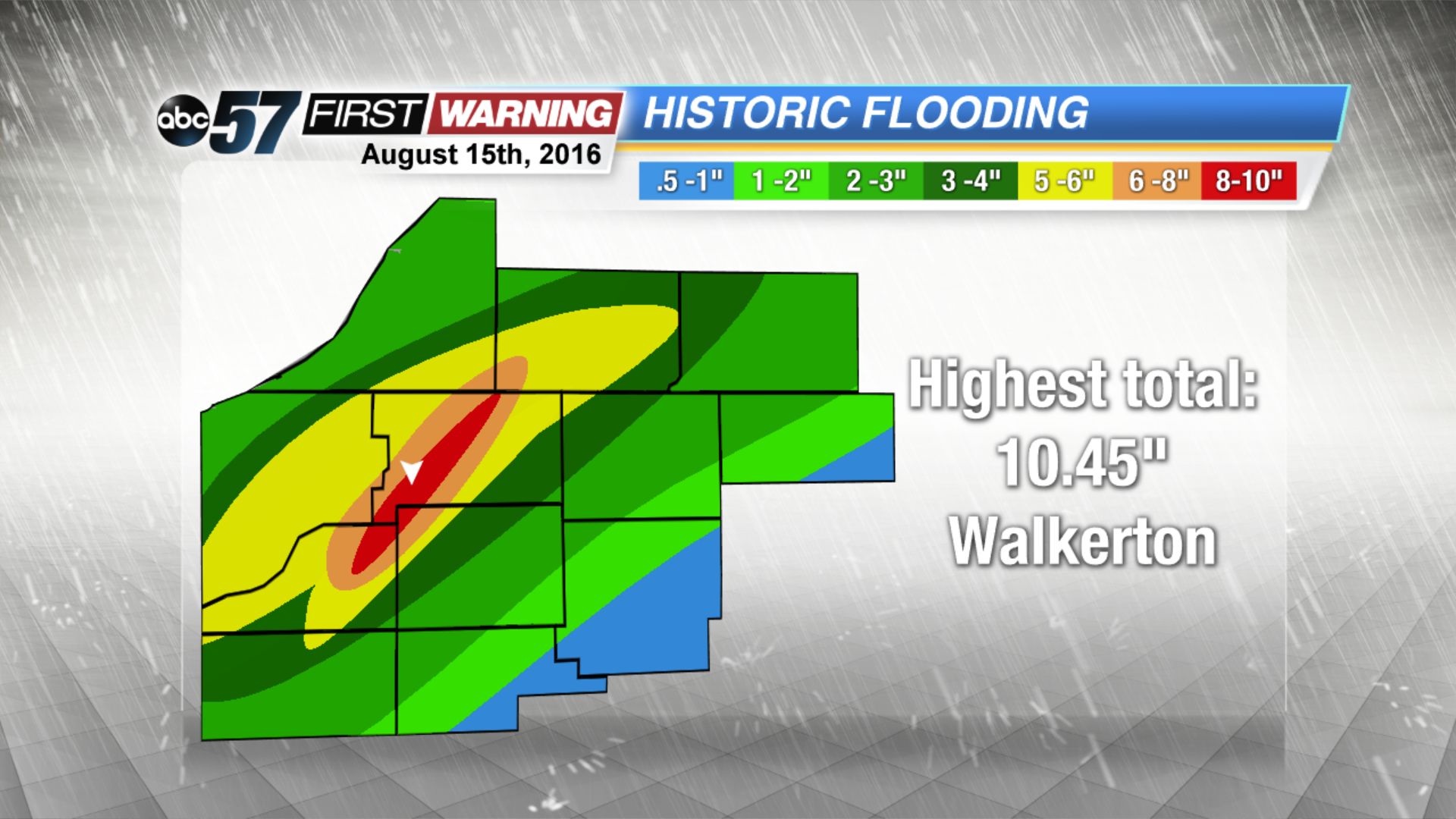
The highest rainfall total from the event came from Walkerton, which saw over 10" of rain! North Judson also picked up more than 10" of rainfall. Extreme rainfall totals were seen in locations like Chain-O-Lakes, South Bend, Knox, Niles, Buchanan, Gulivoire Park, Lakeville, Mishawaka, and many others.
South Bend's official rain total for the event was 8.49", which is double what a normal month of August brings. The city's rain total for just August 15th was 7.69". It is the rainiest day ever in South Bend! The second-highest daily rainfall total in South Bend is 6.58", which occurred on September 13, 2008. Unfortunately, heavy rain events are only going to keep happening. In fact, four of the rainiest days in South Bend history have occurred in the last 18 years! For more on how climate change is impacting the rain events we see right here in Michiana, click here!


