
-
2:13

More strong storms likely this evening
-
2:15

The ingredients for severe weather
-
2:14

Why summer travel prices may spike due to the ongoing war in...
-
1:49

Heavy rain, high winds, and hail are main severe concerns today
-
1:26

Amidst several rounds of storms, some could be severe today
-
0:34

South Bend Community Review Board hosts open discussion on youth...
-
2:19

INDOT walks through a proposed diverging diamond intersection...
-
1:08

Notre Dame’s Leonard Moore highlights student success and raises...
-
1:05

Mayflower Bridge set to close beginning April 6
-
0:21

Colfax Avenue eastbound lane closed for water and sewer work
-
0:46

Madison Street closed for lifestyle district project
-
4:11

Non-profit organization provides deep dive into Blackstone, a...

Wednesday, January 22nd, 2020
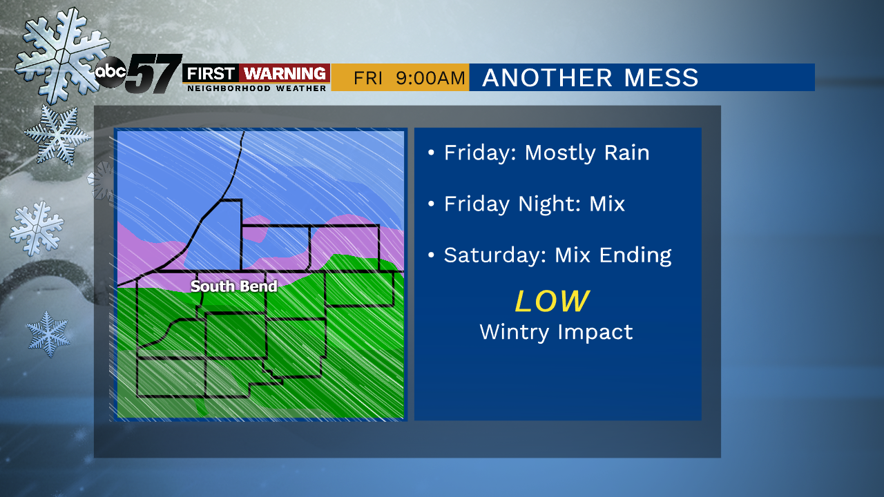
A mix of sun and clouds with daytime highs in the mid-30s. You’ll see more clouds build in for the evening. Temperatures then remain above normal for the rest of the week and gradually warm near 40 degrees. Another system moves it's way in starting Thursday evening and will last through Saturday. A wintry mix of rain and snow is expected.
Today: Partly cloudy. High 37.
Tonight: Mostly cloudy. Low of 28.
Thursday: Mostly cloudy, evening wintry mix then snow. High 37.
Friday: Cloudy, and rain/snow likely. High 40.
Sign up for the ABC 57 Newsletter