Foggy start to your Friday

-
1:45

Windy and wet this weekend, but unseasonable warmth as well
-
3:13

Local players react to $3 million investment in Byer Softball...
-
0:32

Layoffs at Whirlpool could affect workers in Benton Harbor
-
1:03

Annual District Sisterhood Conference at Ivy Tech empowers students
-
1:49

Back home in downtown South Bend, YMCA to open new location
-
2:16

This week’s ABC57 Cub Reporter is Nicholas Zentz
-
3:05

Amazon Web Services invests $11 billion to build data center...
-
4:05

Riley High School student center stage at the NFL Draft
-
1:35

Rain, wind, and milder temperatures forecast this weekend
-
2:49

Joe Alt expected to be drafted in the first round of NFL Draft
-
2:11

Students gearing up for local careers in Manufacturing
-
2:13

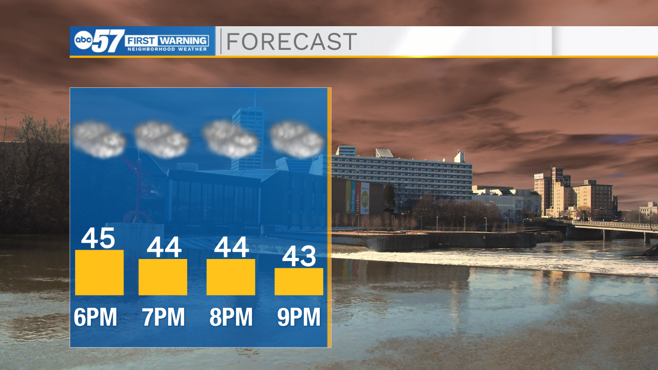
Sunny today, but expect a wetter and warmer weekend

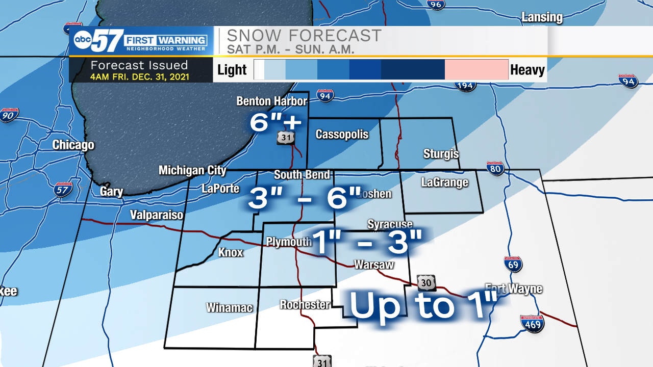
This morning, areas of dense fog are possible so leave yourself a few extra minutes to get to work. Fog will clear later this morning, but cloud cover will stick around throughout the day. Highs this afternoon will top out in the mid to upper 40s. All eyes are on our first winter storm arriving this weekend. Right now 1-3” inches of snow are possible along I-30 and south. North of I-30 and into southwest Michiana 3-6” of snow is possible. Rain showers will start late Saturday morning and then transition to a brief period of freezing rain before temperatures support all snow development later Saturday afternoon. All of Michiana will see snow Saturday night into Sunday morning. Expect impacts to travel through the weekend. After the snow moves out, temperatures will plummet into teens for the start of next week. Highs on Monday will be in the mid 20s with lows during the morning in the single digits. Cold air looks to stick around throughout all of next week.
Today: AM Fog/Cloudy. High 48.
Tonight: Cloudy. Low 37.
Tomorrow: Snow showers. High 38.
Sunday: AM Snow showers. High 25.