


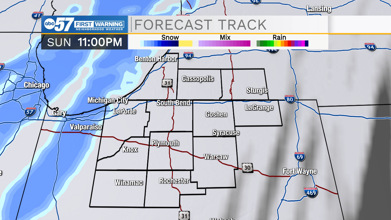
It’s a very cold morning throughout all of Michiana with actual temperatures in the teens and feel like temperatures in the single digits. Bundle up before heading out the door. Cloud cover will slowly move out today as well giving way to a mix of sun and clouds this afternoon. High temperatures will only push into the lower 20s. Sunday morning will be another cold one with lows dropping into the single digits and feel like temperatures hitting closer to 0. Overall this weekend will be quiet as far as winter weather is concerned, but snow chances return to the forecast Sunday night into Monday. A round of snow showers will swing through bringing minor snow accumulations. Lake effect snow showers are possible again Tuesday night and Wednesday. Overall impacts for that round should remain low as well. Temperatures next week will warm into the 30s Monday through Wednesday, but then the 20s return for Thursday and Friday.
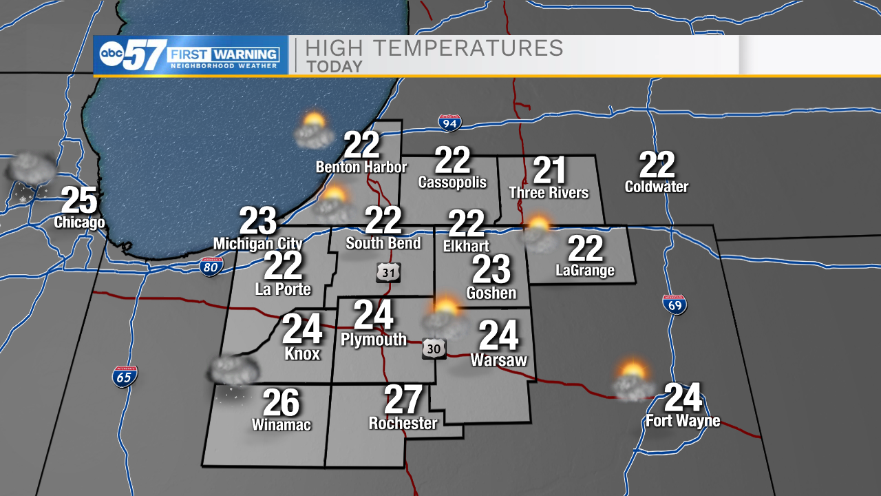
Today: AM clouds/PM sun. High 22.
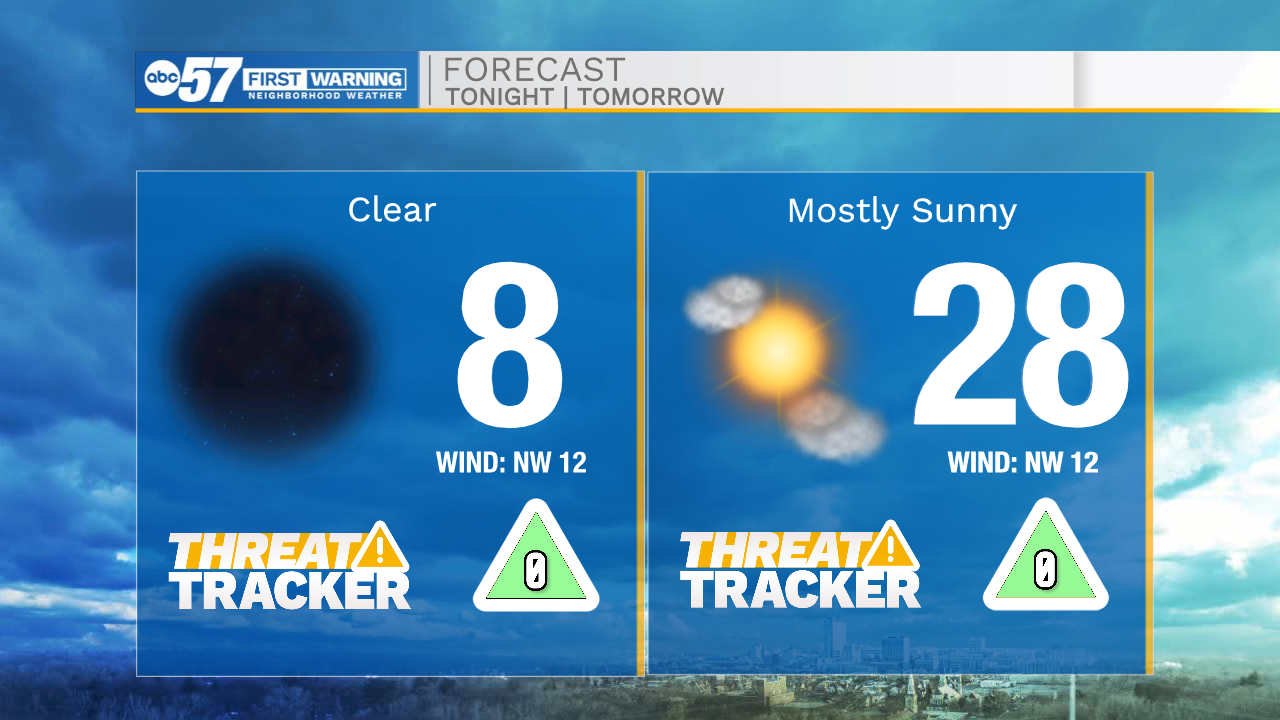
Tonight: Partly cloudy. Low 8.
Tomorrow: Mostly sunny. High 28.
Monday: Snow showers. High 32.