
-
1:50

Top Ten Snow Year 2025-26
-
1:17

South Bend Cubs unveil fan-focused upgrades ahead of Opening...
-
2:21

Notre Dame Fighting Irish ready for spring football
-
2:06

Fighting Irish using time off to refocus ahead of spring practice
-
2:35

What are the privacy implications of SBPD’s ’Drone as First...
-
1:22

Expert discusses Wednesday’s Fed decision
-
3:19

New legislation could make Michigan the 30th constitutional carry...
-
2:15

SBPD using drones to help improve response time
-
1:20

The March roller coaster ride continues
-
1:52

Snow today, rain tomorrow, and warm this weekend
-
0:49

Celebrating St. Patrick’s Day at Corby’s Irish Pub
-
1:58

The Free Market promotes sustainable shopping

Another round of showers / storms overnight, much of the rain clear before sunrise Wednesday.
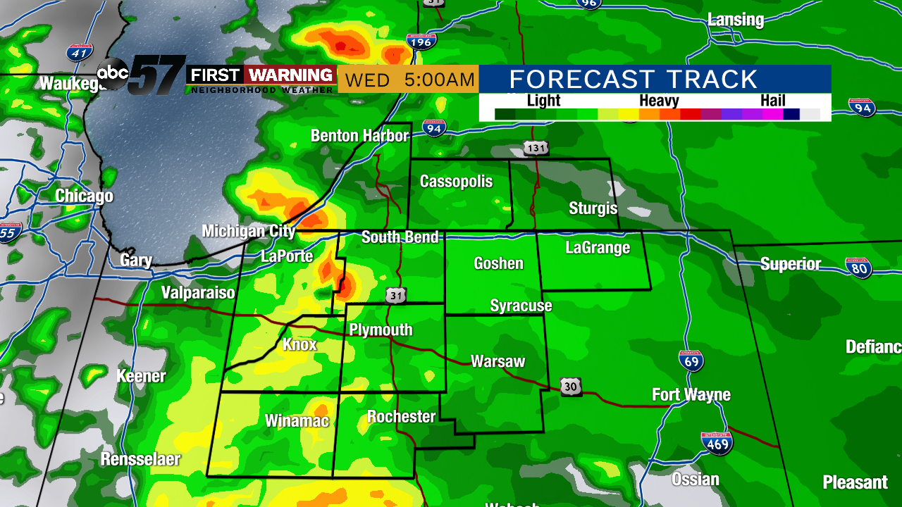
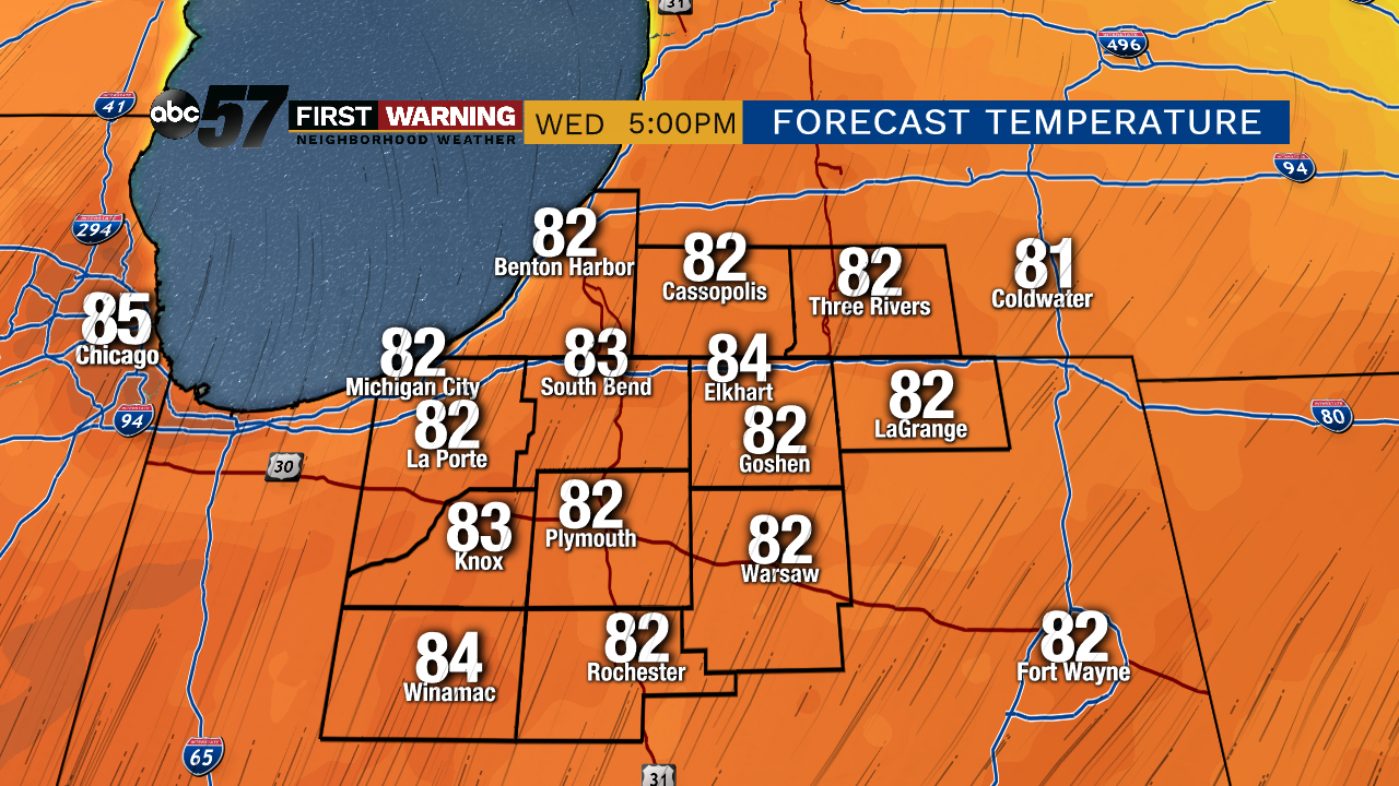
Warm weather returns starting Wednesday and temperatures surge as highs push to 80 by the afternoon and highs stay near 80 through the end of the week. The pattern stays active with at least a chance of rain every day, mostly in the morning through Friday. Scattered showers and storm may become more likely in the afternoon this weekend but overall a pretty standard summer-like pattern for the Memorial Day Weekend.
Tonight: Mostly cloudy with showers returning late. Low of 50.
Wednesday: Early morning showers/storms, then clearing. High of 80.
Thursday: Mostly cloudy with a chance of AM showers/storms, then clearing. High of 78.
Friday: Partly cloudy, high of 82.