Snow impacts through Friday

-
4:24

Michiana Crime Stoppers shredding event
-
1:16

’IvyCares’ program setting students up for success in and...
-
1:45

Windy and wet this weekend, but unseasonable warmth as well
-
3:13

Local players react to $3 million investment in Byer Softball...
-
0:32

Layoffs at Whirlpool could affect workers in Benton Harbor
-
1:03

Annual District Sisterhood Conference at Ivy Tech empowers students
-
1:49

Back home in downtown South Bend, YMCA to open new location
-
2:16

This week’s ABC57 Cub Reporter is Nicholas Zentz
-
3:05

Amazon Web Services invests $11 billion to build data center...
-
4:05

Riley High School student center stage at the NFL Draft
-
1:35

Rain, wind, and milder temperatures forecast this weekend
-
2:49

Joe Alt expected to be drafted in the first round of NFL Draft

The next thirty-six hours will be snowy across Michiana. The large winter storm will stay to our south, and we will receive the far northern end of the system, followed by lake effect snow. It all starts Thursday morning. The AM commute will be dry for most, but Michigan counties including Berrien, Cass and St. Joseph, could see some wintry mix after around 8 AM. If this is your area, give yourself extra time and watch out for slick spots.
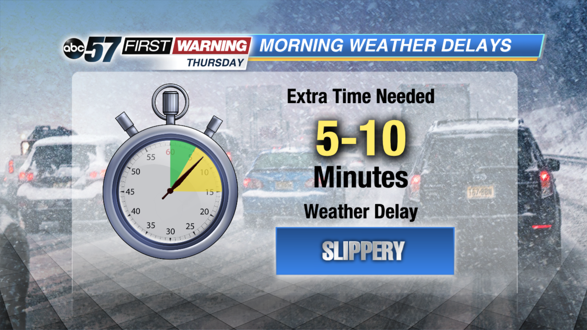
For the rest of Michiana, snow starts moving through by mid-morning and will be light through the mid-afternoon. Only light accumulation is possible, with up to around 1" in our southern counties. This is the area that will have to take it slow on the roads during the afternoon, and potentially the evening commute.
By Thursday night, lake effect snow bands will start to develop. Only around 1" of additional snow is expected under lake effect bands, and visibility may be low. The Friday morning commute will be impacted the most from the lake effect snow. Roads will be cold and snowy, so this will be our highest impact time over the next 36 hours.