


Dangerous winter weather will last through Saturday morning. The blizzard warning has been extended for Berrien and Cass Counties, Michigan, now through 7 p.m. Saturday. It has been canceled for all other areas.
Travel is still dangerous Saturday morning, with blowing and drifting snow.
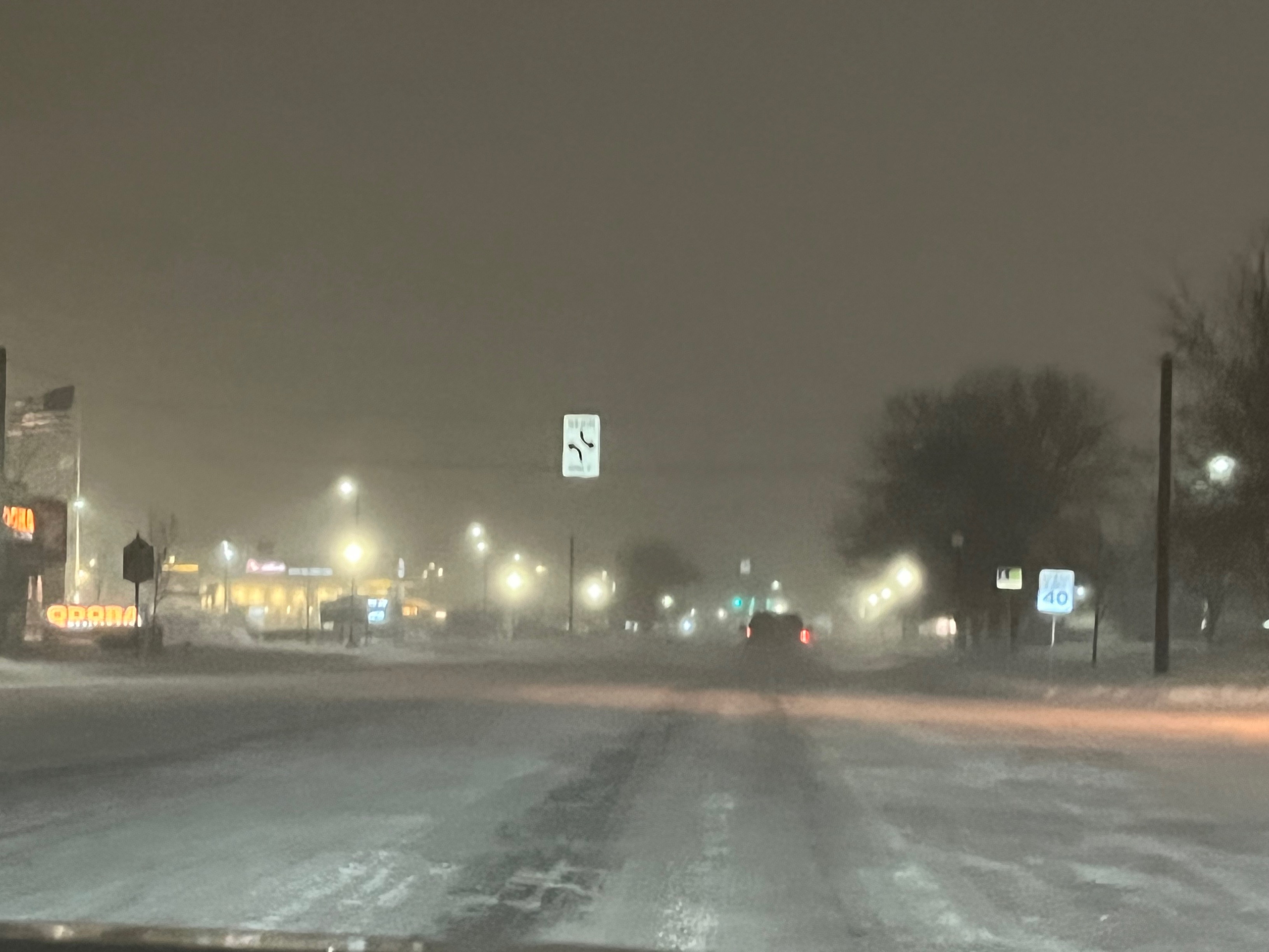 Main Street in Mishawaka, taken at 6 a.m. Saturday
Temperatures are at or near zero degrees once again, and only warm to about 12 degrees this afternoon.
Roads are slick, and areas with lake effect snow today will accumulate a few additional inches of snow.
Wind gusts up to 40 mph are possible this morning, then gradually slow to 30-35 mph this afternoon and evening.
The blizzard warning officially expires at 1 this afternoon, however, roads likely remain in poor condition through the holiday weekend.
Temperatures tonight will be very cold for Santa's arrival into Michiana (lows in the single digits).
A few more lake effect showers could impact anyone driving to church on Christmas morning, but the snow should finally come to an end by midday tomorrow.
A few snow showers are possible Sunday night into Monday morning.
Temperatures are still quite cool to start the week, but we will warm quite a bit Wednesday then again for Thursday and Friday.
A few rain showers could impact your New Years Eve or Day plans.
Today: Cold. Lake effect snow showers. Wind gusts up to 35 mph. Blowing/drifting snow. High 12.
Tonight: Cold. Lake effect snow showers. Wind gusts up to 30 mph. Blowing/drifting snow. Low 8.
Christmas Day Sunday: Cold. Showers ending in the morning. Wind gusts up to 25 mph. High 14.
Monday: AM snow showers. Cloudy. High 20.