Our next big weather system arrives Wednesday


Lake effect snow will continue to impact northern Michiana into the mid to late evening. Slick spots are likely on the roadways, so if you are traveling to watch the big game make sure to take it slow. Snow should mostly move out by the time the game is over. Tonight will be very cold, with temperatures dropping into the single digits by tomorrow morning. With a slight breeze, feel like temperatures will drop near 0 again. Tomorrow and Tuesday our weather looks quiet with even a little sunshine in the forecast. Our next big system will arrive Wednesday afternoon. Temperatures will push into the lower 50s Wednesday afternoon allowing for scattered rain showers to impact all of Michiana. This scattered rain mixed with snow melt from the warm temperatures will help develop a higher flooding potential. Thursday morning a strong cold front will sweep throughout Michiana, rapidly dropping temperatures, and turning rain over to snow. Expect a few to several inches of snow on the back side of this system as it makes an exit to our east early Friday morning. After the system clears highs will drop back into the 20s and 30s heading into next weekend.
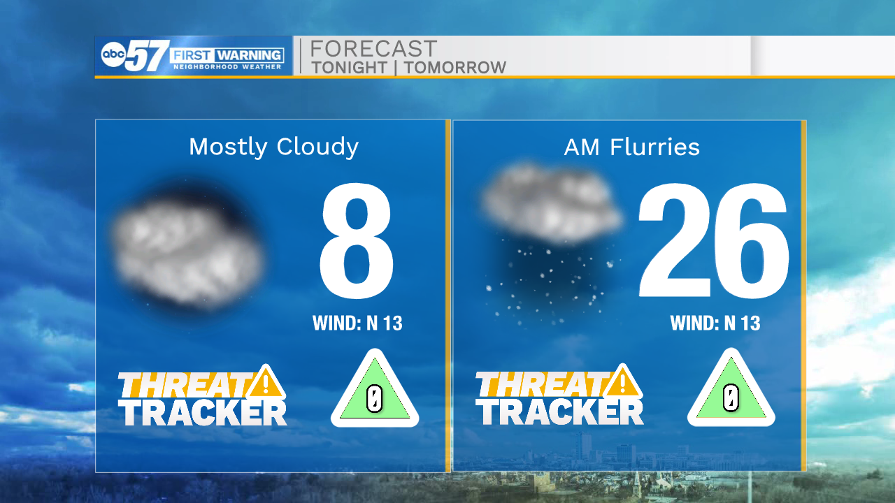
Tonight: Cold. Low 8.
Tomorrow. Partly cloudy. High 26.
Tuesday: Partly cloudy. High 36.
Wednesday: Scattered rain showers. High 50.