
-
1:07

Easter Bunny stops at Tako Loco and Tokyo for Easter fun
-
0:49

Annual Easter Egg Hunt brings families together in Elkhart
-
1:06

Marshall County Humane Society reschedules Dog Egg Hunt
-
2:01

Martin Luther King Dream Center hosts MLK March in South Bend
-
1:54

South Bend Cubs opener postponed by weather, but fans still find...
-
2:01

Sights and sounds from South Bend Cubs Opening Day
-
1:32

NIPSCO ’flatly rejected’ further negotiations, USW workers...
-
3:36

The art of groundskeeping at Four Winds Field
-
3:32

The history behind America’s only ballpark synagogue turned...
-
1:59

South Bend opens season against Quad Cities in familiar Midwest...
-
4:21

South Bend Cubs owner discusses $48M stadium expansion, changes...
-
3:19

A look into the new South Bend Cubs 2026 roster

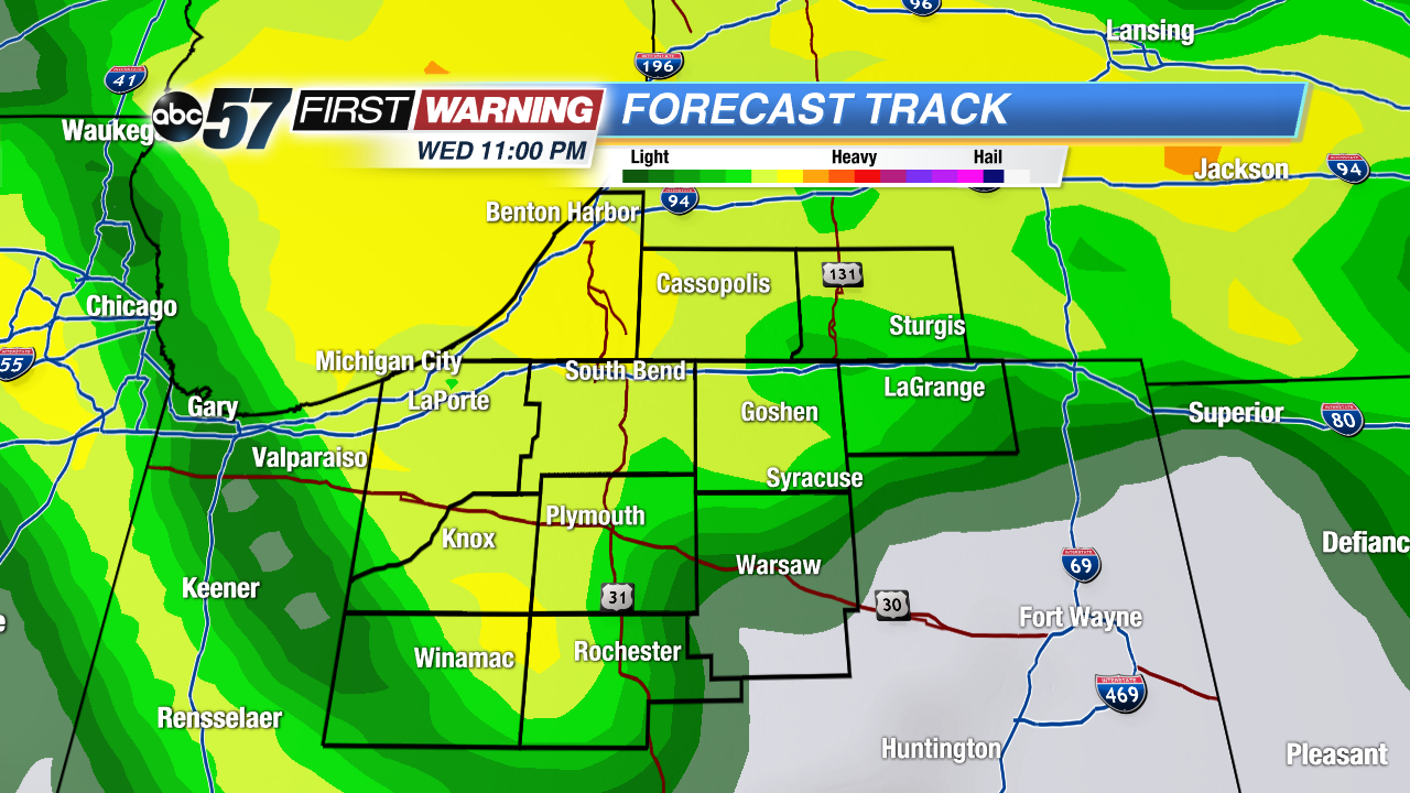 Stormy weather is likely to end the week, starting with a round Wednesday night into Thursday.
A few early evening showers, ending before sunset. Temperatures cool and skies clear overnight into the lower 50s, unseasonably cool for June.
More mild weather Tuesday, sunshine and highs in the mid-70s. Temperatures climb through the end of the week along with the humidity. Highs will be in the 80s Wednesday through Friday. Shower and storms also look likely to end the week, Thursday and Friday. The weather pattern over the next two week remains mostly moderated with highs near of just below normal.
Tonight: Early evening showers, then clearing, low 50.
Tuesday: Sunny, high of 74.
Wednesday: Mostly sunny, high 80.
Thursday: Scattered storms, highs in the mid-80s.
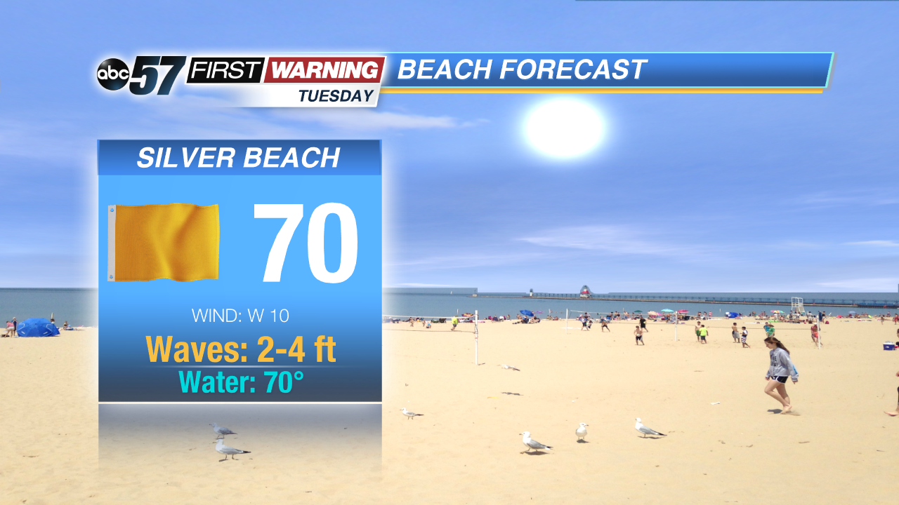 Beach weather remain cool and choppy on the lake.
Sign up for the ABC 57 Newsletter