
-
0:32

Hot throughout the day
-
1:37

Housing and population concerns rise at the Master Plan Public...
-
3:49

Viral Parody cheers for the Indiana Bears as Illinois lawmakers...
-
3:46

South Bend Mayor, Common Councilmembers hold press conference...
-
2:02

South Bend Cubs open homestand with 6-3 win over Peoria Chiefs
-
1:38

Readers Night Out held to support fundraising efforts for Warsaw...
-
2:24

The City of Benton Harbor hosted their official rededication...
-
2:12

Breaking down the storm threat, WED and THU nights
-
2:44

Firefighters continue investigation into cause behind Lafayette...
-
1:32

Two rounds of severe weather likely
-
1:07

Scattered showers continue this afternoon
-
0:47

Severe weather expected Thursday

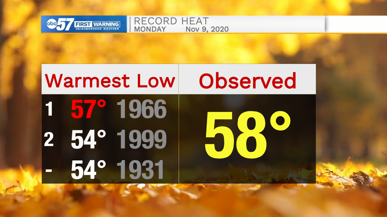
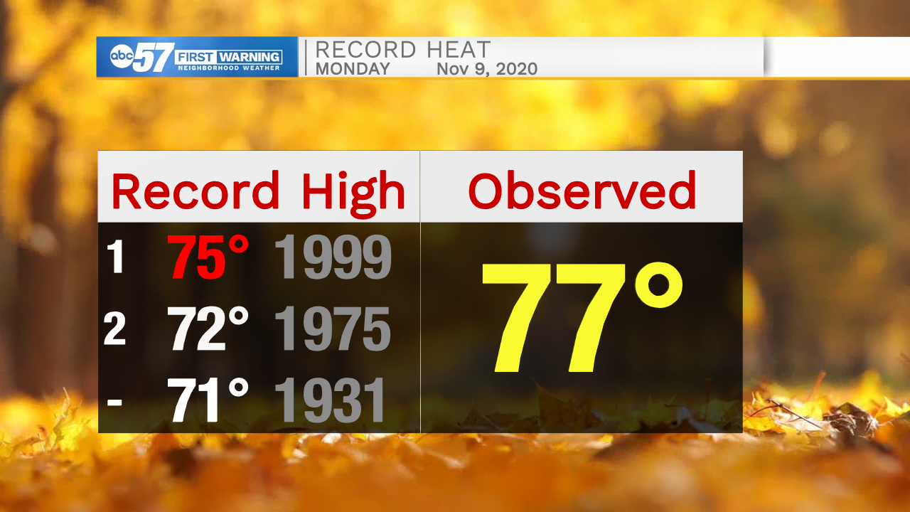
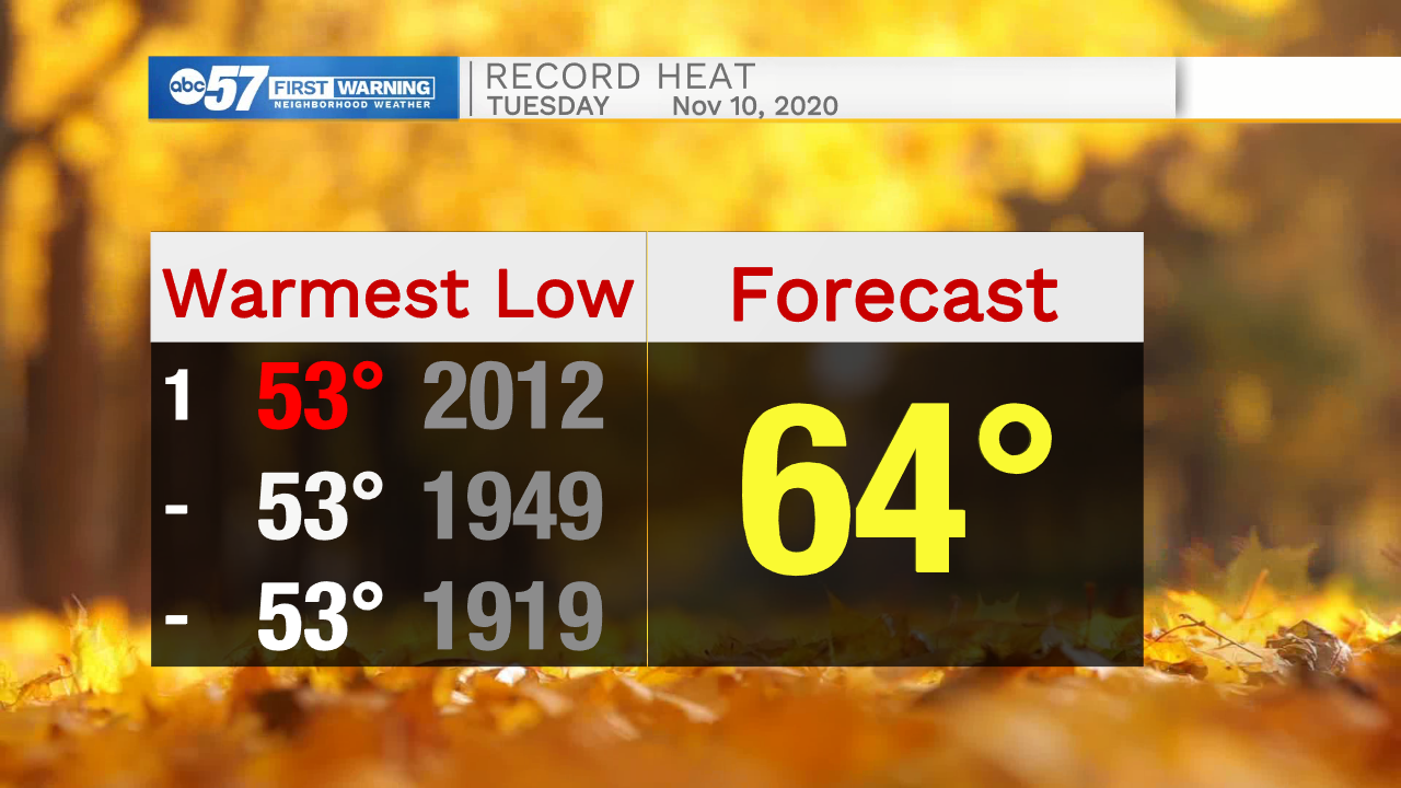
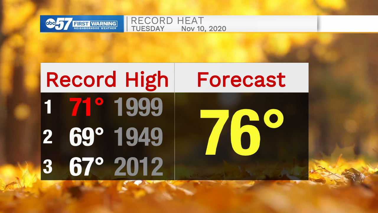
Record warmth continues Tuesday. A mild morning low in the 60s and highs in the mid-70s will shatter records. This is the 4th warmest start to November on record and once Monday and Tuesday's data are finalized it could make a run closer to the warmest.
A cold front will cut through Tuesday night brining rain, possibly some thunder but severe weather is unlikely. The rest of the week and extended forecast are cooler but with temperatures ranging between a high of 55 and low of 35 over most of this stretch, it's still mild for mid-November.
Tonight: Partly cloudy. Breezy. Low 64.
Tuesday: Mostly cloudy and windy. Evening showers. High 76.
Wednesday: Sunny. High 48.
Thursday: Sunny. High 54.
Sign up for the ABC 57 Newsletter