Patchy fog will be out and about today so watch out for a slick spot again this morning as lows dive towards the freezing mark. Mostly cloudy and rain showers stick around today as a weak system pushes by Michiana. Expect more sunshine and warmer highs tomorrow! For Thursday, another, stronger system will move in, kicking the wind and high temperatures up again, but throwing rain our way too. Afterwards, we cool back down into the weekend with highs near 40.
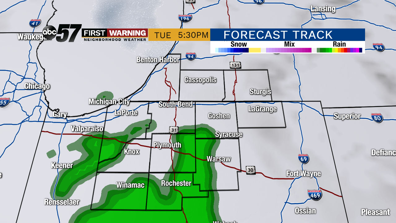 Potential radar image at 5:30 this afternoon. Light rain/drizzle could fall towards the south.
Today: Patchy AM fog with a slick spot possible. Then, mostly cloudy skies with a chance of midday and PM showers. High of 40.
Tonight: Mostly cloudy with showers ending early. Low of 33.
Wednesday: Mostly cloudy to partly sunny. High of 46.
Thursday: Cloudy with rain likely. Windy. High of 55.
