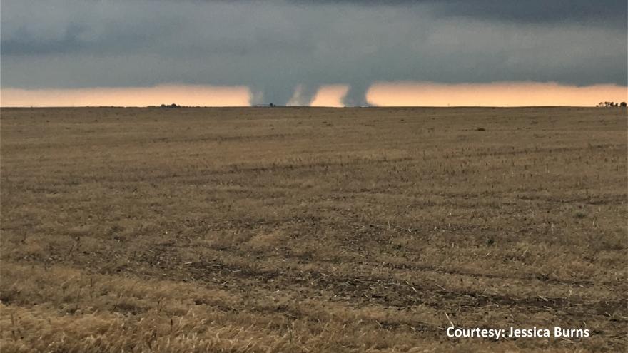
You're wanted: National Weather Service seeking storm spotters

You’re wanted: National Weather Service seeking storm spotters
NEXT:

Do thunderstorms and tornadoes fascinate you? Do you want to learn more about severe weather? Do you want to play a key role in helping the National Weather Service save lives and property? If you answered "yes" to any of those questions, then you should highly consider becoming a member of SKYWARN. SKYWARN is a volunteer program with 350,000 to 400,000 trained severe weather spotters. It was established in the 1970s by the National Weather Service to better obtain crucial weather information. 

To become a trained storm spotter, all you have to do is attend one 2-hour class. They are hosted at various locations across the country by the National Weather Service, meaning one is likely less than an hour from where you live. Even better -- they're completely free! Since trained weather spotters are important in helping the NWS issue warnings and alerts, everyone is encouraged to become one. 

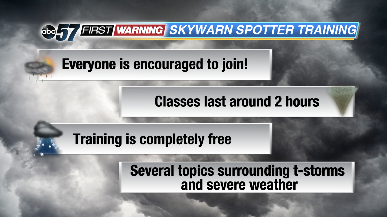
"We need ground truth. We need to know what's happening where you live. And we have all of this great technology, radars and computers and social media. But the bottom line is we need eyes on the sky. This is open to anybody. This costs nothing. All we ask is two hours of your time. Come out, be trained. We try to make the material accessible to about 10 to 11 year olds and higher." That's what Michael Lewis, the Warning Coordination Meteorologist at the NWS in Northern Indiana, had to say about the program.

This year the Michiana locations hosting a training class are Winamac, Plymouth, Three Rivers, and Berrien Springs. To attend one, all you have to do is register online beforehand, which you can do here by clicking on the location of your choice. Once that is complete, you just have to show up and learn! That's all. Once you walk out of a training class, you are able to send official reports to the National Weather Service to help in their mission of saving lives and property.

Several topics are discussed, ranging from thunderstorms and their development to tornadoes and measuring hail size.

"We are going to talk about the limitations of radar. It's a great, powerful tool, but it has some limitations. We're going to talk about what you might see on the radar that might indicate severity. And some of the 'gotchas' where it looks like it should be bad, but it isn't. We're going to talk about how thunderstorms form, how they intensify and why. We're also going to focus on how to report effectively so that the media, the National Weather Service and emergency managers can get your information efficiently."

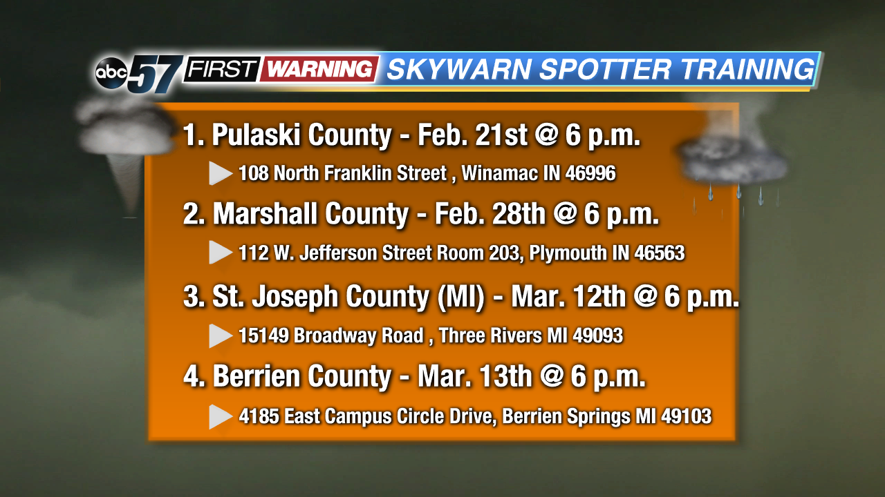
For more information and resources, check out this page from the NWS in Northern Indiana. 

Share this article: