

-
2:50

Judge rules in favor of St. Joseph County Democrats in ballot...
-
2:20

Record setting diesel prices slam truck drivers, soon to affect...
-
0:54

Osceola residents weigh in on crossing safety
-
0:29

NIPSCO gas leak in Osolo Township
-
1:12

Constitution Day celebration at Indiana University
-
1:41

Three human trafficking victims identified during operation in...
-
3:12

“Heaven Is Much Brighter Today“: Marian High mourns two alumnae...
-
22:36

REBUILDING BENTON HARBOR: an ABC57 special
-
2:17

Suspect identified, cause of death revealed after multi-county...
-
1:48

The Luck of the Irish could keep Saturday’s rain at bay
-
1:42

Dirty Roots Pantry fights against period poverty in Michiana
-
1:23

Heavy rain and storms now, Drier later today

Rain returns to the area with light showers Wednesday, changing to more widespread rain and even snow Thursday and Thursday evening. The first of March will be lion-like, blustery and falling temperatures. The end of week hops back like a lamb with sunshine through the weekend.
Additional rainfall may keep some standing water but additional river flooding is unlikely and rivers continue to retreat.
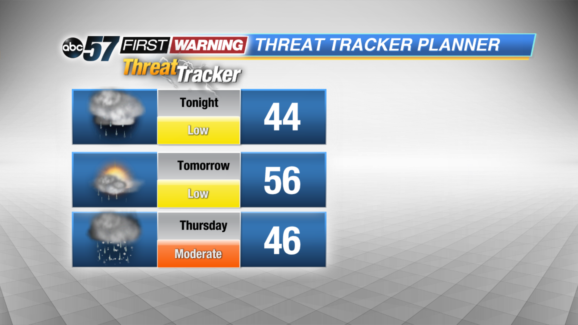
Tonight: Turning mostly cloudy, chance of rain by morning, low 44.
Wednesday: Cloudy, scattered rain showers, high of 56.
Thursday: Rainy, cold and breezy, temperatures fall from 46 with chance of snow late.
Sign up for the ABC 57 Newsletter