
-
1:48

Scattered showers this evening, Much cooler overnight
-
1:50

Showers and storms this afternoon
-
0:20

One person injured in shooting
-
0:36

Eddies Circuit Robotics holds competition Saturday
-
0:32

21st annual Nappanee Model Train Show
-
0:38

Local boys basketball team headed to IHSAA state finals
-
3:49

Midwest Meowfest brings kitten advocacy to attendees, new homes...
-
1:52

Mild tonight, showers tomorrow
-
1:43

Pleasant to start the weekend
-
3:06

Pulaski County weighs stricter solar rules amid resident concerns
-
0:40

Marian High School hosts World Down Syndrome Awareness Walk
-
2:33

South Bend leaders call for an end to gun violence

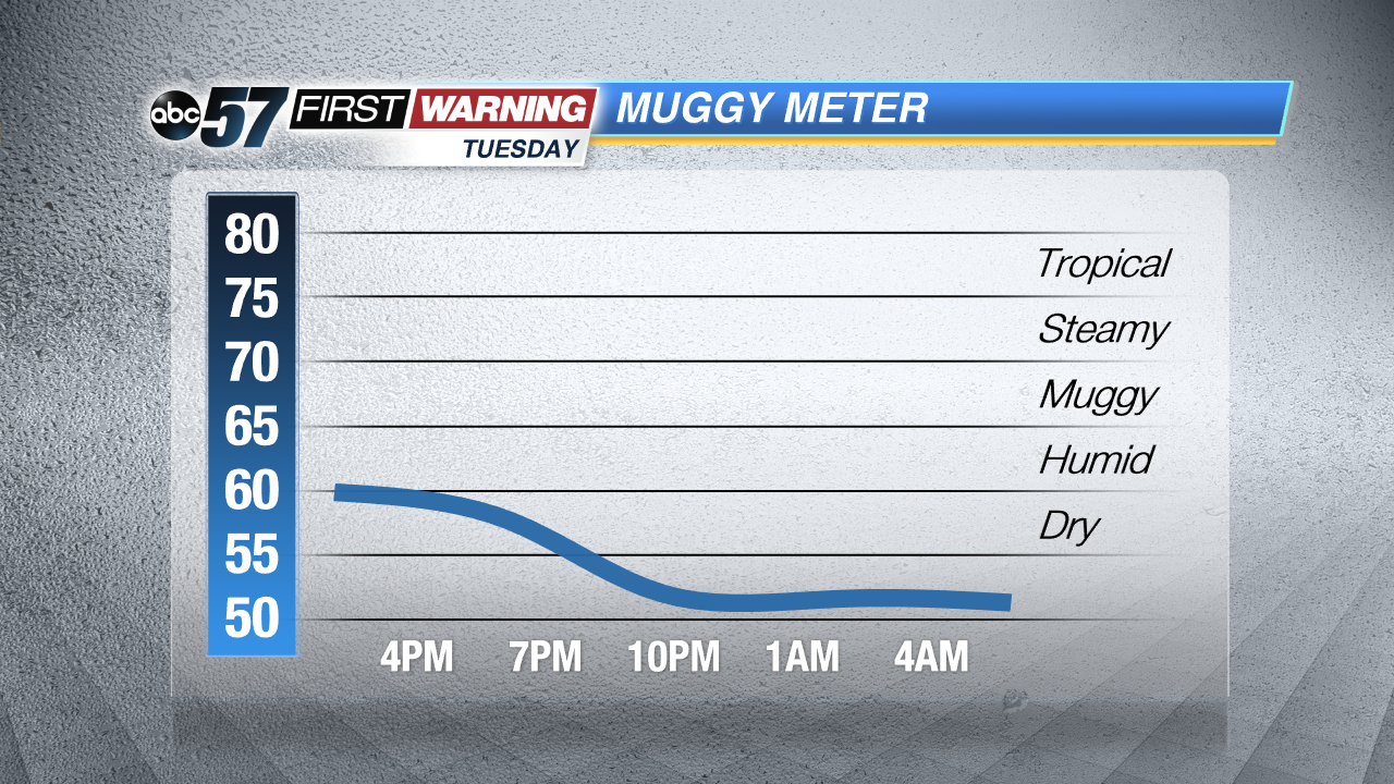
After the wettest first two weeks of May on record for the area, some much needed dry weather returns to the forecast. Skies clear Wednesday and the forecast stays fair through the end of the week. Temperatures stay above normal with highs near 80 but lower humidity. The chance of storms returns by the end of the weekend.
Tonight: Clearing, low of 54.
Wednesday: Mostly sunny, high of 79.
Thursday: Partly cloudy, high of 81.
Friday: Partly Cloudy , isolated shower possible, high 78.
Sign up for the ABC 57 Newsletter