Sunshine and breezy winds in store for Monday

-
1:32

Bridging the healthcare gap in Michiana
-
1:44

Drier but cooler weather returns for Wednesday
-
2:32

County Council asks questions on 900-acre Granger rezoning and...
-
0:56

Notre Dame women’s basketball team holds end-of-season awards...
-
0:45

Idea Week kicks off with networking at launch party
-
2:59

SBPD officer takes in six puppies while SBARC remains on Parvo...
-
1:45

How rain is hampering planting progress
-
2:43

From classrooms to rental units in Chikaming Township
-
1:47

Cooler and drier midweek, milder and wetter weekend
-
2:36

Aspiring chefs are cultivating their dreams at Ivy Tech
-
1:40

Rainy and breezy Tuesday
-
0:58

Hockey team hosts ’Rally for Rudy’ car wash

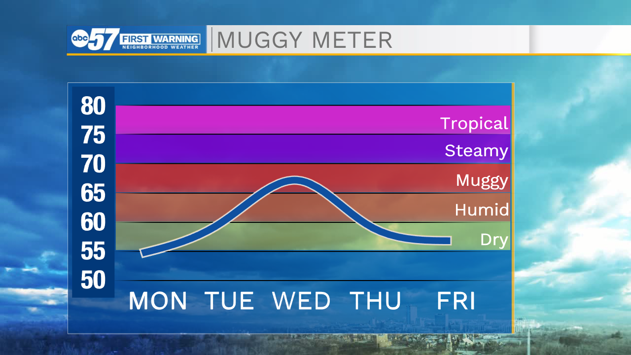
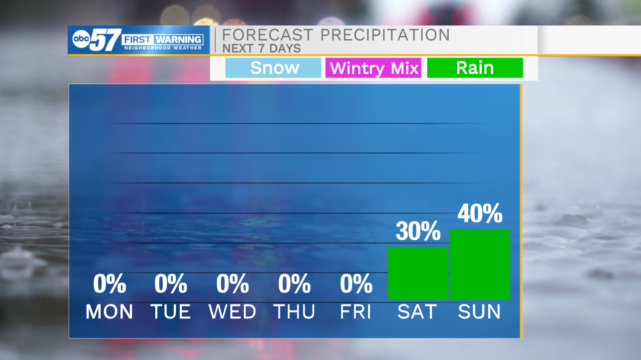
Cloud cover will remain in place tonight helping to keep temperatures in the lower 50s tomorrow morning. As we go throughout your Monday cloud cover will clear and sunshine will return. High temperatures will warm into the mid to upper 70s tomorrow afternoon. Also tomorrow, winds will become strong during the afternoon leading to gusts reaching into the 25-30mph range. These stronger winds will build in heat a humidity which will stick around throughout most of the week. High temperatures will begin to climb into the 80s starting on Tuesday, and remain there all the way into the beginning of next weekend. We still look to remain mostly dry through the week, until Friday night. A few isolated showers are possible, but overall better rain and storm chances will hold off until next weekend.
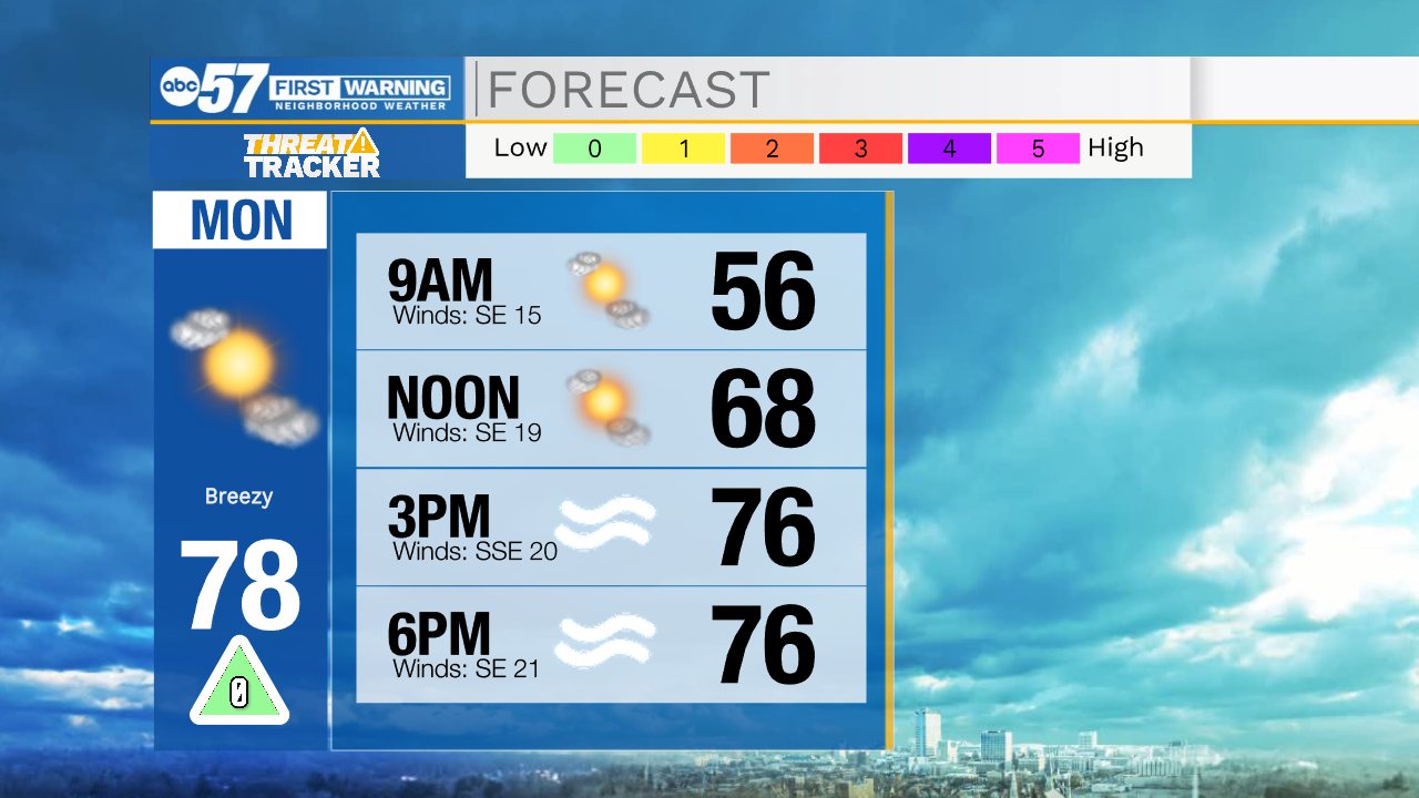
Tonight: Mostly cloudy. Low 50.
Tomorrow: Mostly sunny/breezy. High 78.
Tuesday: Partly cloudy. High 82.
Wednesday: Partly cloudy. High 86.