Summer warmth continues with storm chances this week

-
2:59

SBPD officer takes in six puppies while SBARC remains on Parvo...
-
1:45

How rain is hampering planting progress
-
2:43

From classrooms to rental units in Chikaming Township
-
1:47

Cooler and drier midweek, milder and wetter weekend
-
2:36

Aspiring chefs are cultivating their dreams at Ivy Tech
-
1:40

Rainy and breezy Tuesday
-
0:58

Hockey team hosts ’Rally for Rudy’ car wash
-
1:06

South Bend School Board of Trustees reviewing the code of conduct
-
2:33

Newly annexed land in Mishawaka could see a Gurley Leep auto...
-
3:48

Farmers react to recent trend of farmland sales in St. Joseph...
-
2:47

Reaction to potential TikTok ban
-
2:49

Michigan City Fire Department holds ’Firefighter for a Day’...

ABC57 First Warning Neighborhood Weather Forecast
Monday, May 24th, 2021
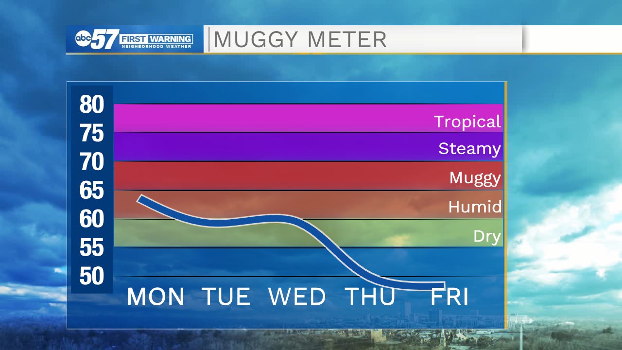
Another summer-like day with a mix of sun and clouds and highs in the mid-80s. A stray shower or storm is possible this afternoon. The mix of sun and clouds continue Tuesday but the wind will pick up, gusting up to 30 mph. Isolated showers/storms are possible in the evening but it will become widespread overnight. Scattered showers and storms continue into Wednesday morning but clouds break up past midday. A break from the rain on Thursday but another round of showers and storms moves through on Friday. It'll brighten and warm back up over the weekend.
Today: Partly to mostly cloudy, stray shower/storm possible. High 86.
Tonight: Partly cloudy. Low 68.
Tuesday: Partly cloudy and breezy. PM isolated t-storms. High 86.
Wednesday: Morning scattered showers/storms. High 80.