Severe weather plows through Midwest

-
1:21

Fair Thursday wet / windy weekend
-
2:52

Union Township sues UNAS over ambulance stripped for parts
-
1:32

Bridging the healthcare gap in Michiana
-
1:44

Drier but cooler weather returns for Wednesday
-
2:32

County Council asks questions on 900-acre Granger rezoning and...
-
0:56

Notre Dame women’s basketball team holds end-of-season awards...
-
0:45

Idea Week kicks off with networking at launch party
-
2:59

SBPD officer takes in six puppies while SBARC remains on Parvo...
-
1:45

How rain is hampering planting progress
-
2:43

From classrooms to rental units in Chikaming Township
-
1:47

Cooler and drier midweek, milder and wetter weekend
-
2:36

Aspiring chefs are cultivating their dreams at Ivy Tech

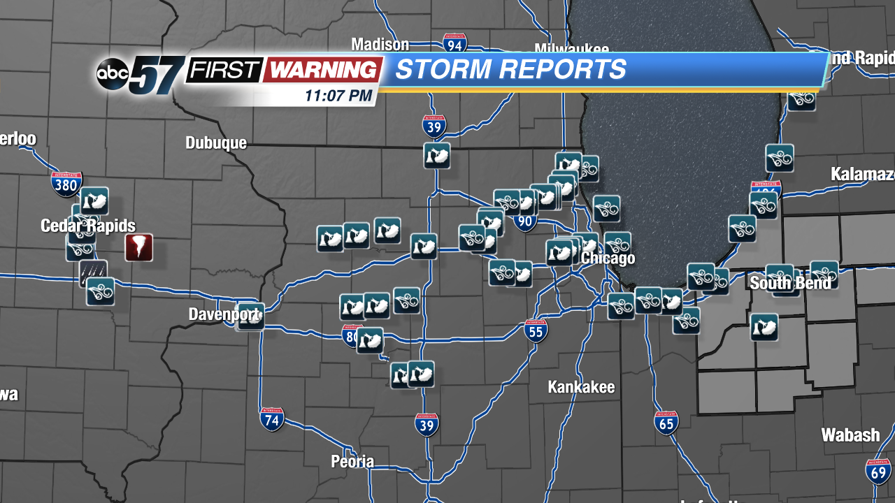
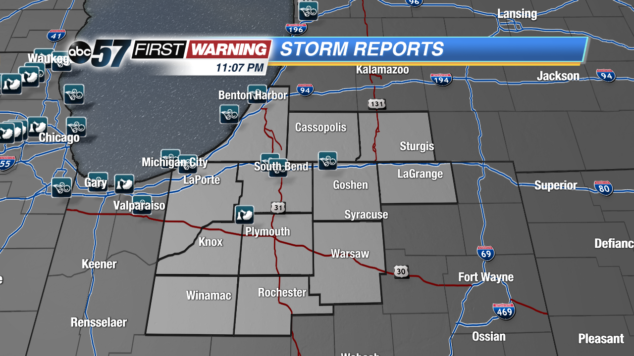
Severe storms plowed through Michiana after 8 PM Tuesday evening, with very heavy rain, a ton of lightning and strong winds.
Wind reports came in at 51 MPH in South Bend, 50 MPH in Simonton Lake, 48 MPH in Michigan City and 43 MPH in Benton Harbor. There was only one storm report of a tree that fell on a vacant car in Koontz Lake.
Damage was more widespread in Illinois and Iowa where the storms moved in during the peak heating hours of the day and were therefore stronger. Northern Illinois is dotted with wind reports, with one of 70 MPH in Huntley, McHenry County, and an estimated straight line wind gust of 90-100 MPH in Moline. Damage reports in Illinois included trees and power lines. In Iowa, a tornado touched down southeast of Cedar Rapids, damaging grain bins and corn, and more trees and power lines came down because of high wind.