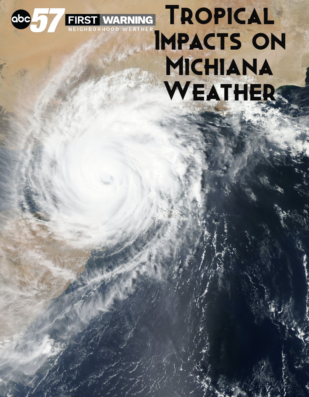
Cristobal's impacts on Michiana


Hundreds of miles away, Tropical Depression Cristobal made landfall in Southeast Louisiana over the weekend. While we might seem far removed from this setting, tropical storms and hurricanes can actually impact the weather here at home.
A 2014 study found that after a tropical storm, states throughout the Midwest can be impacted. Remnants from the storm can reach states like Indiana and Michigan, and can cause significant flooding. This occurs in the days following the storm’s landfall.
These images show the movement of the storm from Monday at 12:30 to Tuesday at 12:30 p.m.
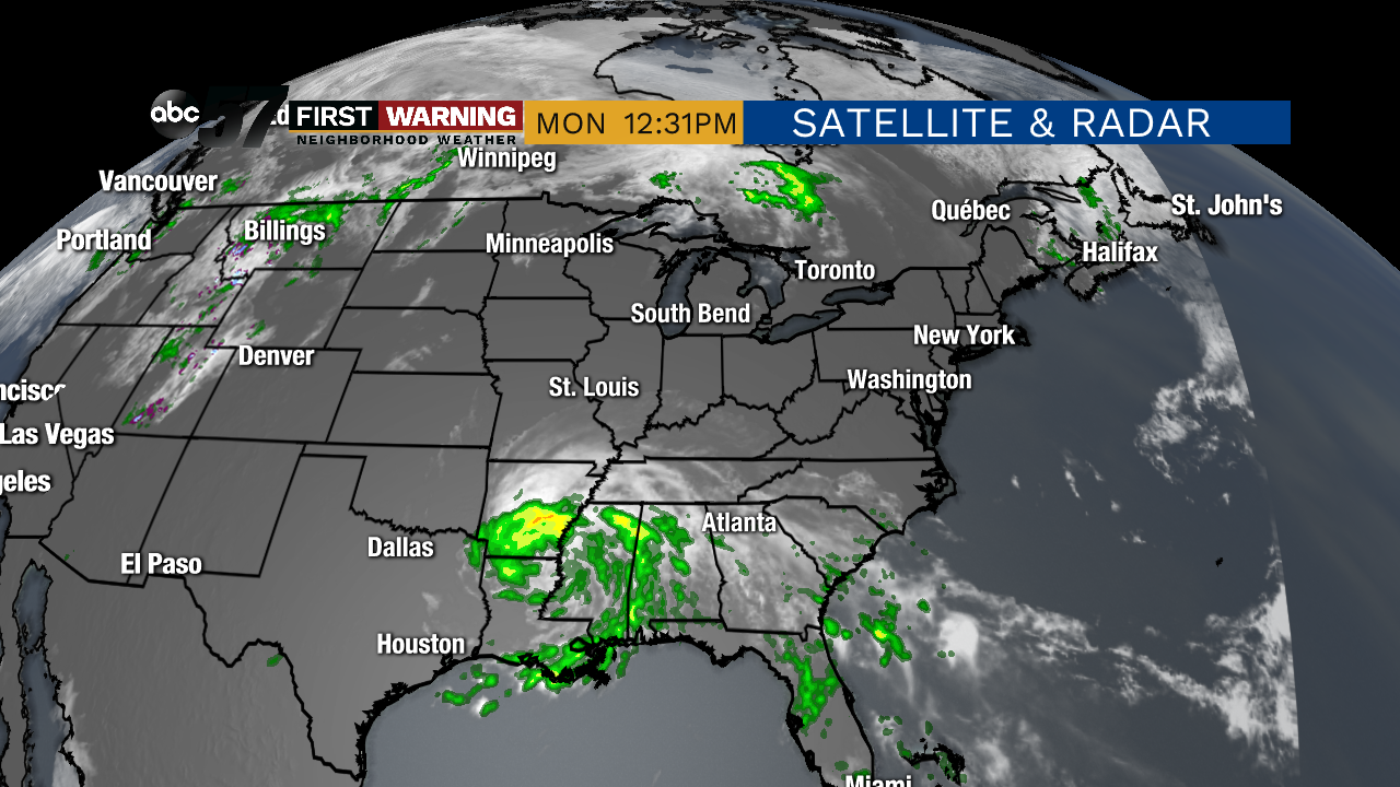 Midday Monday, Cristobal was located over the southern states.
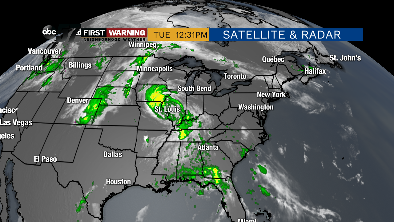 By midday Tuesday, Cristobal was much closer to Michiana. We will begin to feel the impacts by 4 PM Tuesday.
This means that with Cristobal, we will likely end our dry stretch, and finally get rainfall. In addition to rain and storms, we will get very fast winds Tuesday and Wednesday. Non-storm gusts are possible in excess of 40 miles per hour.
![]()
What about in the days leading up to a tropical storm? For coastal and landlocked states, they tend to enjoy a pleasant weather period-- the calm before the storm. This happened for us, as we’ve had dry, sunshine-filled weather over the weekend and on Monday.
In the past, 25 tropical storms have moved across part of Indiana. You can find the path for all of these storms by visiting NOAA’s Historical Hurricane Tracks website. Just type “Indiana” into the search bar. The results will look something like this.


In order to form, tropical storms need a warm body of water. States like Indiana don’t have this warm body of water, so if a storm travels here (across several other landlocked states) all the way from the ocean, it means the storm started with a significant amount of energy.
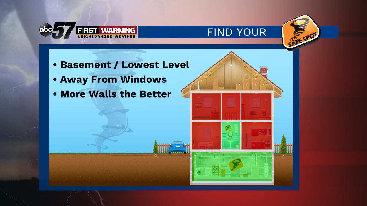
Tuesday night and Wednesday, stay weather aware as the storm remnants reach Michiana. The primary threats remain strong wind and isolated tornadoes. Make sure to know your tornado safety plan and how to find your safe spot at home.