Strong to severe storms possible on Labor Day

-
1:58

Rain returns tonight, storm chances picking up into tomorrow
-
2:20

Indiana Fever select Caitlin Clark #1 overall in WNBA Draft
-
5:31

Interview with Rep. Bill Huizenga over Israel-Iran conflict
-
1:05

Students perform in first-time joint concert event
-
2:31

Neighbors react after man barricaded himself in crashed vehicle
-
1:52

St. Joseph River at near-flood stage in Niles
-
1:03

Construction set to start on intersection at State Road 933 and...
-
1:54

Event honoring Vietnam War veterans to be held in New Carlisle
-
2:44

St. Joe marinas await completion of Bicentennial Bridge construction
-
2:05

The storm threat is shifting to Wednesday
-
1:24

WNBA Draft looking to impact the next generation of female athletes
-
2:31

One last quiet, pleasant day before storms return tomorrow

Labor Day will start off beautiful, sunny and warm. Breezy, southwest winds will bring warm air into Michiana, soaring the high temperatures into the mid 80s. A strong cold front will start to push through during the afternoon. Storms will begin to develop close to around 4PM, and a squall line will likely form, pushing to the southeast through most of Michiana. The SPC has Michiana under a Marginal and Slight Risk. In the map below, see that the lower risk is for the northwest counties of Michiana, where the storms will form. The higher risk is for the orange counties, where the storms will intensify as they move to the southeast.![]()
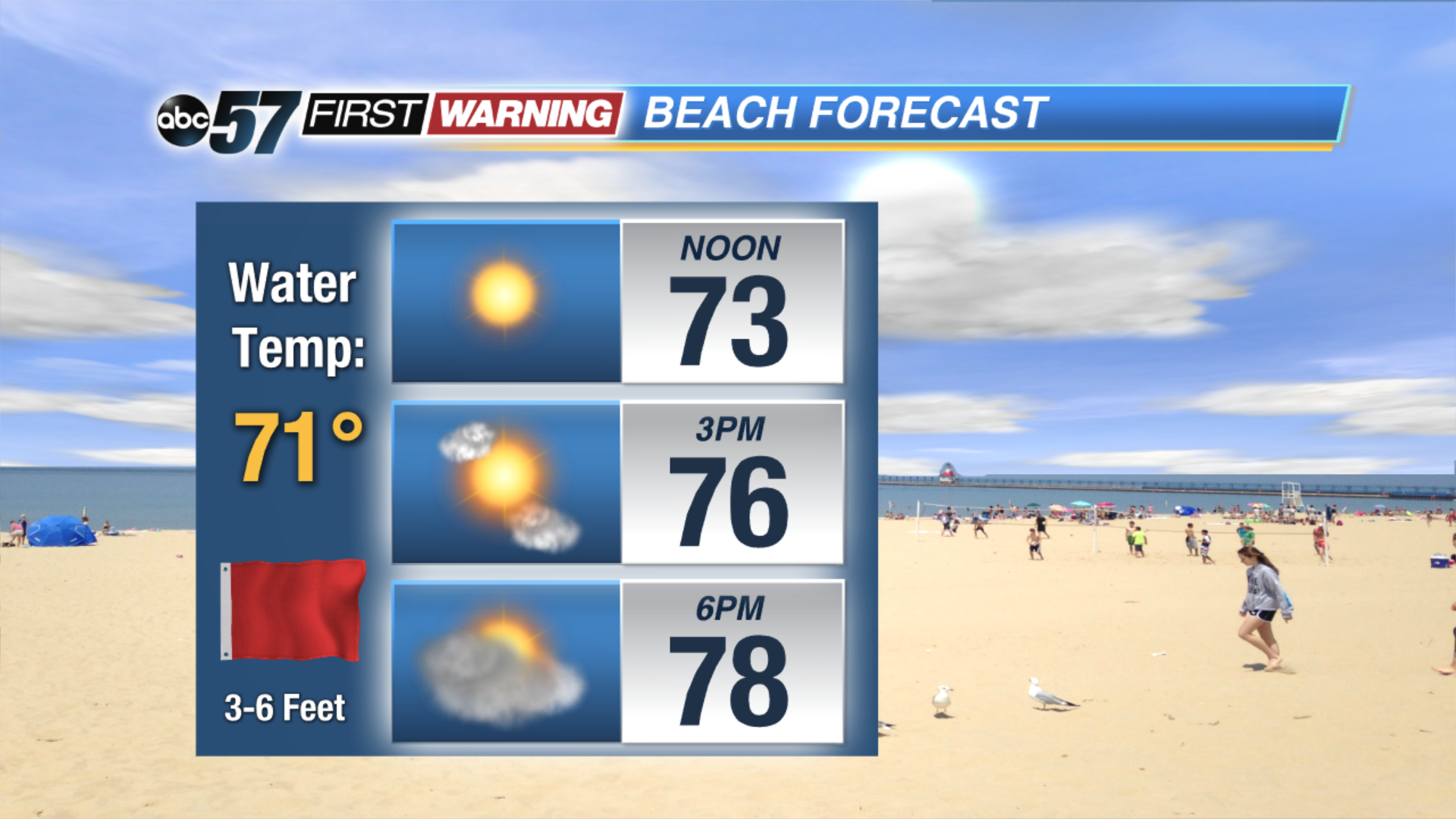
Because of breezy conditions in the forecast for Monday, the waves in Lake Michigan will grow up to 6 feet. Rip currents are expected, so beach-goers are advised not to swim.
Tonight: Mostly clear. Low of 61.
Monday: Sunny and breezy early with storms developing in the early evening. Storms may be strong to severe. Highs in the mid 80s.
Tuesday: Partly sunny with showers developing in the evening. Highs near 70.
Wednesday: Lake effect clouds and rain throughout the day. Highs in the mid 60s.