
-
1:52

While the rain is over, the cooling temperatures are not
-
2:28

Public forum hosted by John Glenn High School students
-
3:34

Kickoff preview with ABC57’s Allison Hayes
-
0:57

Completion of Martin Luther King Jr. Dream Center one step closer
-
0:36

Niles High School students network with local professionals
-
3:59

Political group asks Indiana Democrats to vote in Republican...
-
3:01

New Buffalo Area Schools to build workforce housing
-
2:37

City seeks feedback for final Potawatomi Park plan
-
7:27

Center for the Homeless hosting Dancing With Our Stars
-
2:10

More wet weather arriving later tonight, but sunnier skies after
-
3:16

Public input on the proposal to restart the Palisades Nuclear...
-
1:35

Dari Fair opened Wednesday for 2024 season, temperatures cool...

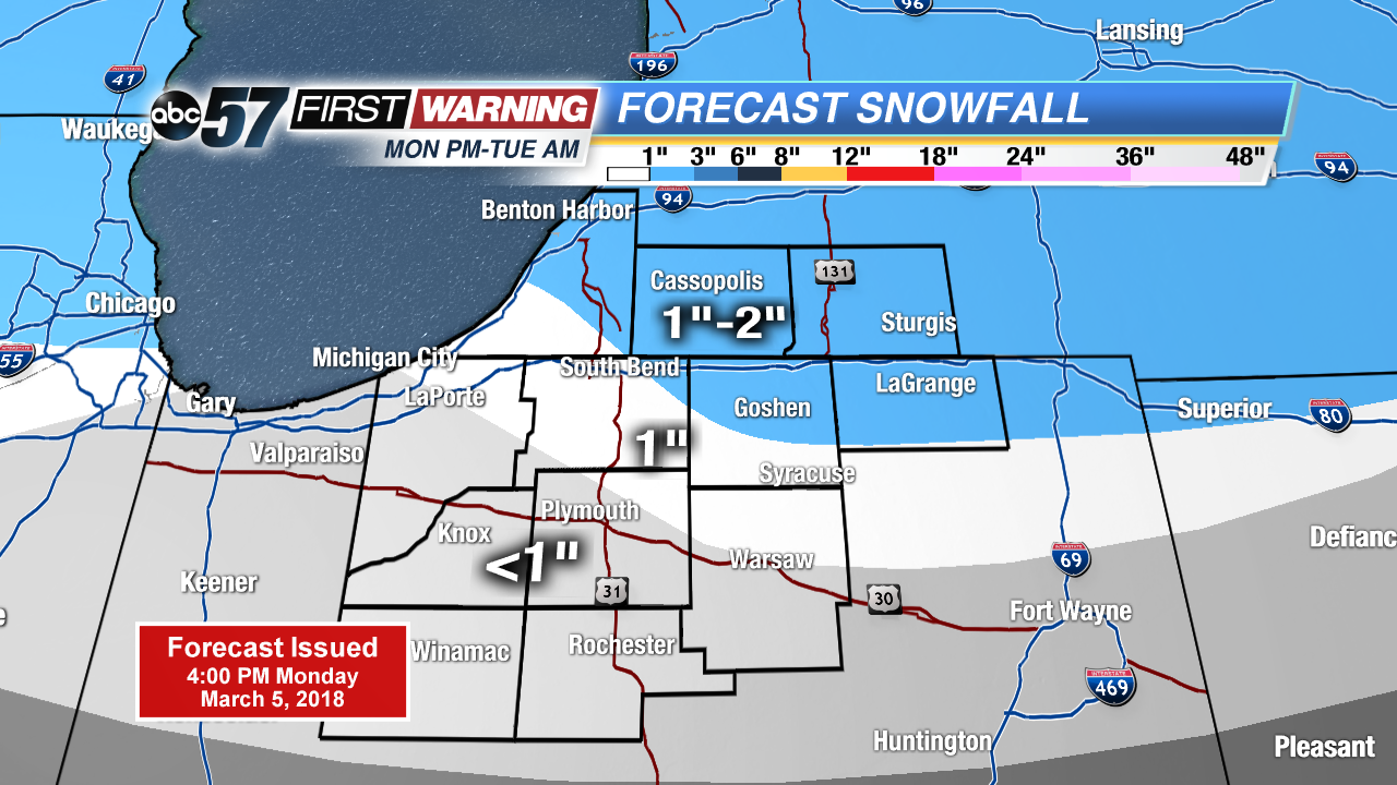
Rain changes to a slushy snow overnight, accumulation of one to three inches possible but will likely melt on most paved surfaces. Wet and slushy travel is expected Monday night and Tuesday morning.
Wintry weather returns midweek, snow changes to rain showers Tuesday afternoon and then changes back to snow again Tuesday night. Snow showers could bring an additional inch or two through Wednesday. However overall accumulation will stay to a minimum, due to melting, as high temperatures waver just above freezing. Temperatures remain below normal through the end of the week.
Tonight: Wintry mix turning snow, low of 30.
Tuesday: A few morning snow showers, mostly cloudy with afternoon rain changing to snow, high of 40.
Wednesday: Mostly cloudy, light snow and windy, high of 33.
Thursday: Mostly to partly cloudy, chance of snow, high of 30.