Isolated showers and storms today

-
1:52

While the rain is over, the cooling temperatures are not
-
2:28

Public forum hosted by John Glenn High School students
-
3:34

Kickoff preview with ABC57’s Allison Hayes
-
0:57

Completion of Martin Luther King Jr. Dream Center one step closer
-
0:36

Niles High School students network with local professionals
-
3:59

Political group asks Indiana Democrats to vote in Republican...
-
3:01

New Buffalo Area Schools to build workforce housing
-
2:37

City seeks feedback for final Potawatomi Park plan
-
7:27

Center for the Homeless hosting Dancing With Our Stars
-
2:10

More wet weather arriving later tonight, but sunnier skies after
-
3:16

Public input on the proposal to restart the Palisades Nuclear...
-
1:35

Dari Fair opened Wednesday for 2024 season, temperatures cool...

Passing showers and storms could move through the area Monday morning, but everyone will be mostly dry by lunch time. Another slight chance for a shower or storm comes back during the afternoon, mainly on the Indiana side. The 4th of July is looking dry again for most, with partly sunny skies and a slight chance of pop-up showers and storms in southwestern portion of the viewing area during the late afternoon. Any rain should taper off by 9 pm so firework shows should be good to go.
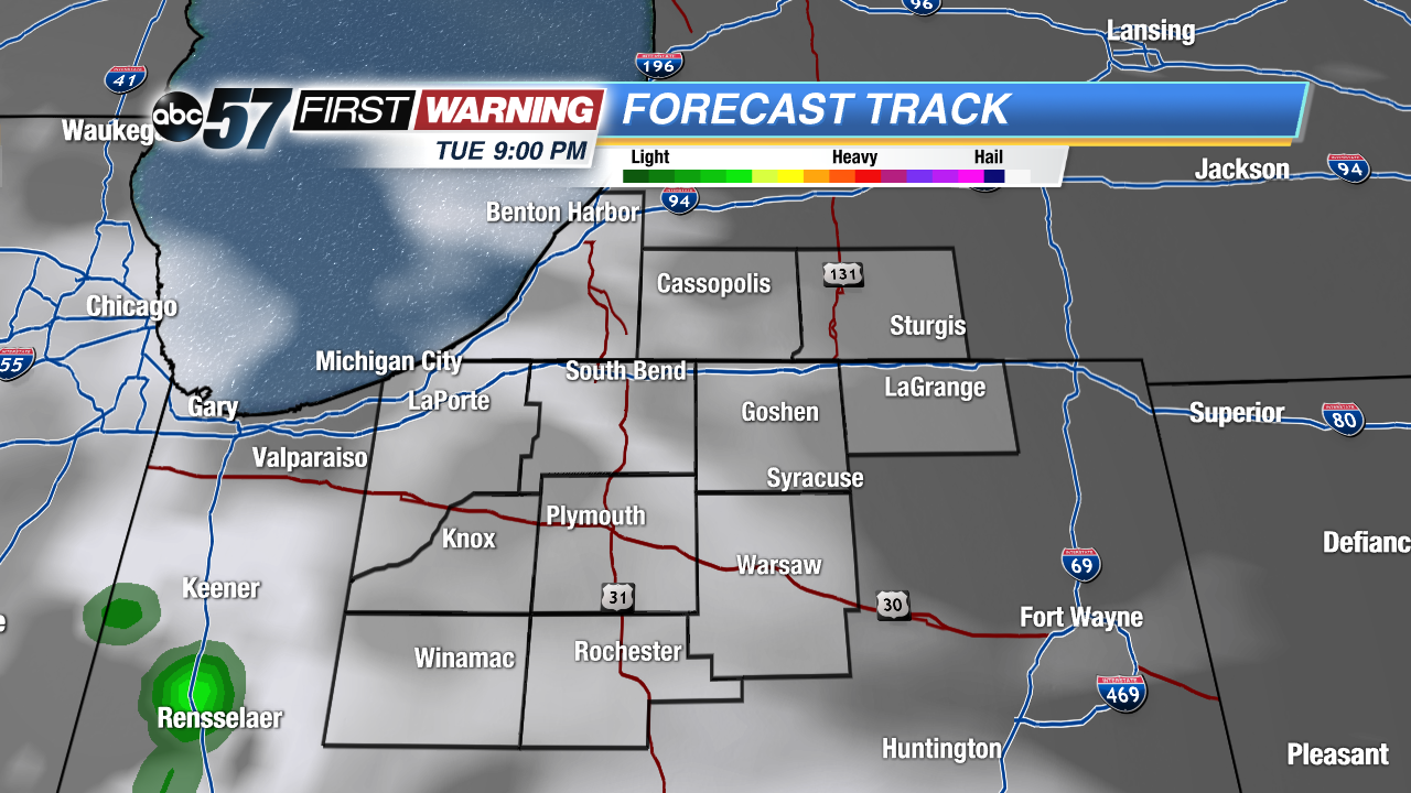 Everyone should be dry for fireworks Tuesday night
More organized storms roll in for Wednesday afternoon, into Wednesday night, as well as a good portion of Thursday. Scattered showers also can’t ruled out for Friday, but this upcoming weekend looks to be another dry and beautiful one.
Monday: Slight chances for showers and storms in the morning and late afternoon. Otherwise, partly sunny. High of 82.
Tonight: Partly cloudy with a slight chance of showers and storms along and south of Hwy 30. Low of 63.
Tuesday: Partly sunny with another slight chance of showers and storms in SW Michiana. High of 84.
Wednesday: Partly sunny with increasing storm chances in the afternoon. Highs around 83.