UPDATE: Stormy start to Friday
Posted: Aug 16, 2018 4:27 PM EDT | Updated: Aug 16, 2018 10:48 PM EDT

-
2:36

Aspiring chefs are cultivating their dreams at Ivy Tech
-
1:40

Rainy and breezy Tuesday
-
0:58

Hockey team hosts ’Rally for Rudy’ car wash
-
1:06

South Bend School Board of Trustees reviewing the code of conduct
-
2:33

Newly annexed land in Mishawaka could see a Gurley Leep auto...
-
3:48

Farmers react to recent trend of farmland sales in St. Joseph...
-
2:47

Reaction to potential TikTok ban
-
2:49

Michigan City Fire Department holds ’Firefighter for a Day’...
-
1:27

Ivy Tech program building future auto technicians
-
2:43

Elkhart elated about Big Balloon Build
-
1:34

Volunteers use Earth Day to spruce up Woodlawn Park Trail
-
3:50

Labor complaint filed over ’student-athlete’ classification

UPDATE: A line of storms moving across northern Illinois will slowly weaken overnight but could still bring heavy rain and thunder to Michiana by Friday morning. The system slowly clears through the rest of the day.
The clouds and light rain showers slowly clear to end the week. Skies continue to clear Friday night, then warm and sunny weather returns for the weekend. The next round of showers and storms arrives Monday night into Tuesday. Milder temps return for the middle of next week.
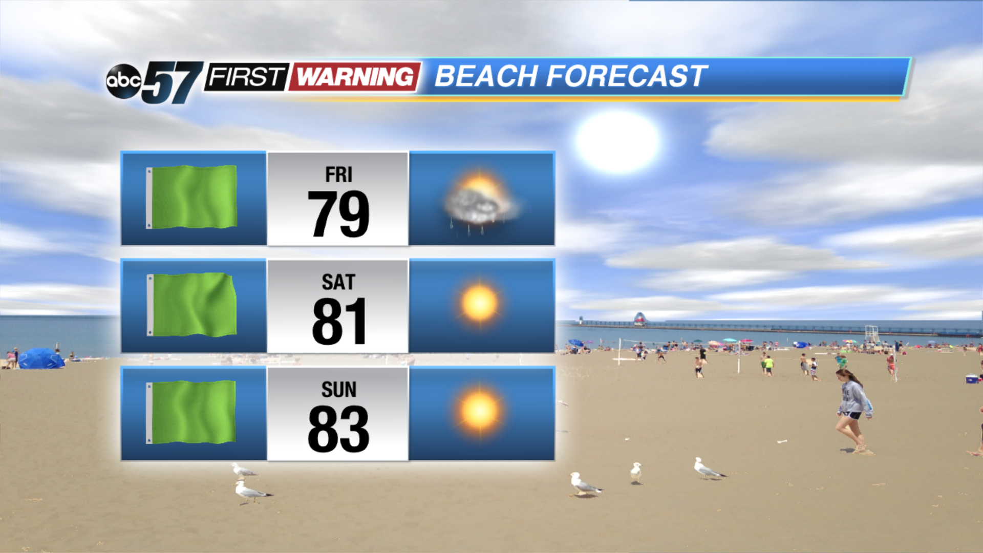
Tonight: Mostly cloudy, chance of showers, low of 68.
Friday: Mostly to partly cloudy, isolated showers, high of 78.
Saturday: Mostly sunny, high of 82.
Sunday: Sunny, high of 84.
Sign up for the ABC 57Newsletter